Location: Minas Novas 🌎
Location: Minas Novas, Brazil
Administration Region: Minas Gerais
Population: 30794
ISO2 Code: Minas Gerais
ISO3 Code: BRA
Location Type:
Latitude: -17.2189
Longitude: -42.59
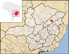
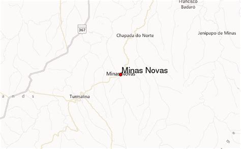
Minas Novas is a municipality in the northeast of the Brazilian state of Minas Gerais. In 2020, the population was 31,497 in a total area of 1,810 km². The elevation of the urban area is 635 meters. It is part of the IBGE statistical meso-region of Jequitinhonha and the micro-region of Capelinha. It became a municipality in 1730.
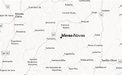
The economy is based on cattle raising, services and subsistence agriculture, with the main crops being coffee, rice, beans, sugarcane and corn. There were plantations of eucalyptus trees for charcoal production. In 2005, there were 3,367 rural producers but only 19 tractors. 10,500 persons were dependent on agriculture. In 2005, there were ten public health clinics, one of them carrying out diagnosis and complete therapy. There was one hospital with 69 beds. Educational needs were met by 68 primary schools, five middle schools and ten nursery schools. There were 867 automobiles in 2006, giving a ratio of 35 inhabitants per automobile (there were 1,290 motorcycles). There was one bank in 2007.Neighboring municipalities are Capelinha, Chapada do Norte, Leme do Prado, Novo Cruzeiro, Setubinha, Turmalina and Virgem da Lapa. The distance to Belo Horizonte is 500 km.

Top Minas Novas HD Maps, Free Download 🗺️
Map
Maps
United States
United States
World Map
China
China
