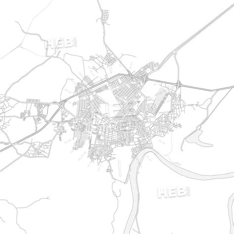
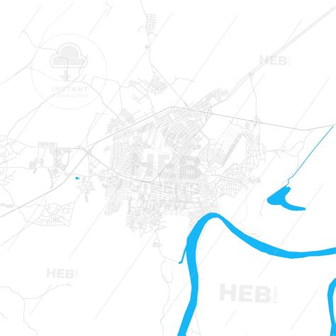
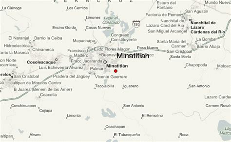
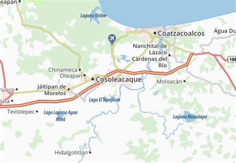
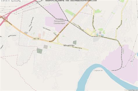
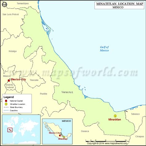
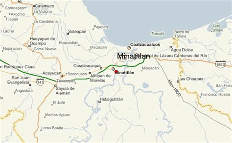
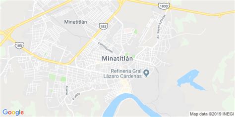
Location: Minatitlán 🌎
Location: Minatitlán, Mexico
Administration Region: Veracruz
Population: 356020
ISO2 Code: Veracruz
ISO3 Code: MEX
Location Type: Lower-level Admin Capital
Latitude: 17.9833
Longitude: -94.55
Minatitlán is a city in southeastern Mexican state of Veracruz in the Olmec region of the state and the north of the Isthmus of Tehuantepec.
In 2010 the greater metropolitan area had a population of 356,020. The municipality covers an area of 4,123.91 square kilometers (1,592.25 sq mi) and includes many small outlying communities.
Much of the city sits on reclaimed wetlands, and many new homes built on this reclaimed land have a tendency to sink up to several meters before settling. Much of the surrounding undeveloped land is marshy, especially towards the northeast direction of Coatzacoalcos.
Minatitlán is home to the Refinería Gral. Lázaro Cárdenas del Río (now named for President Lázaro Cárdenas) a 1906 oil refinery that was the first such facility built in Latin America. The refinery underwent an expansion that started in 2003 to bring the capacity of the plant up to 240,000 barrels per day, up from its previous capacity of 185,000 barrels per day.It is a sister city of Minatitlán, Colima in the state of Colima, on the other side of the country.
The local economy is largely dependent on the oil industry and trade.
The Feria del Café y Minería (Coffee and Mining Fair) is held each year in January.

Top Minatitlán HD Maps, Free Download 🗺️
Map
Maps
United States
United States
World Map
China
China

