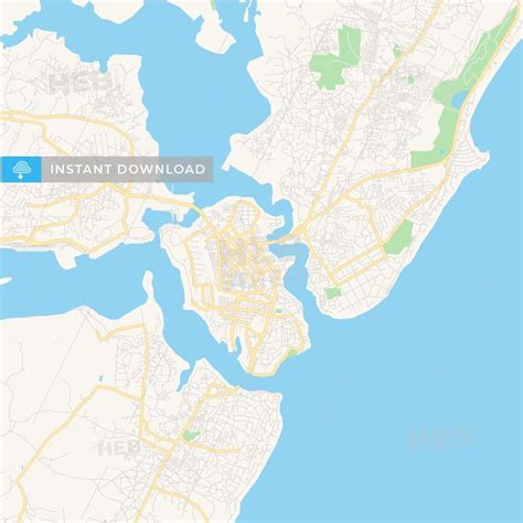
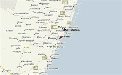
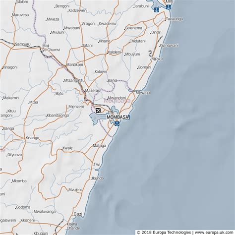
Location: Mombasa 🌎
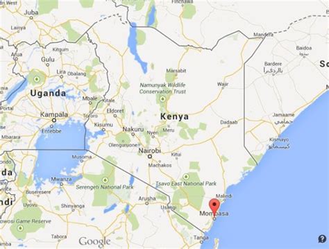
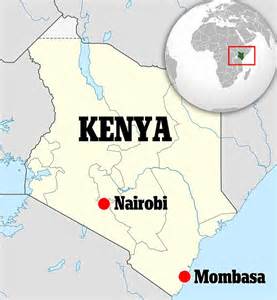
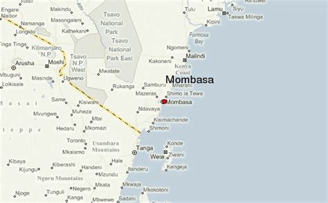
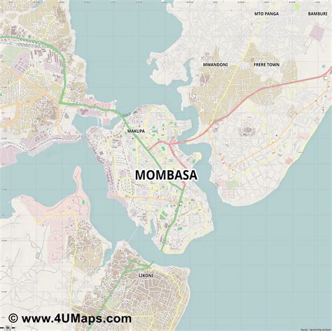
Location: Mombasa, Kenya
Administration Region: Mombasa
Population: 1208333
ISO2 Code: Mombasa
ISO3 Code: KEN
Location Type: First-level Admin Capital
Latitude: -4.05
Longitude: 39.6667
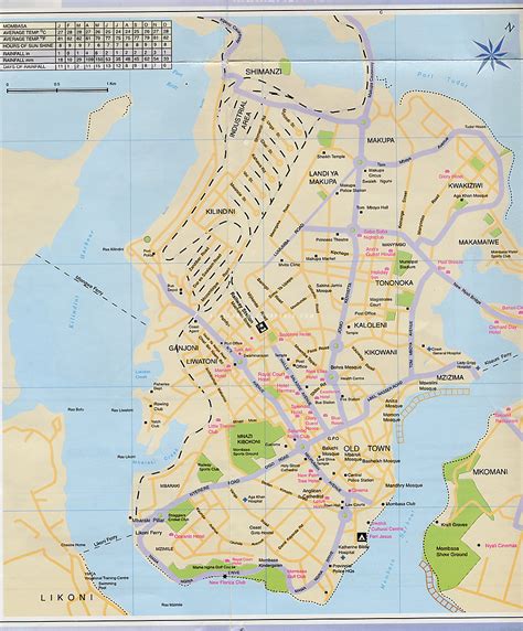
Mombasa ( mom-BASS-ə; also US: -BAH-sə) is a coastal city in southeastern Kenya along the Indian Ocean. It was the first capital of British East Africa, before Nairobi was elevated to capital city status in 1907. It now serves as the capital of Mombasa County. The town is known as “the white and blue city” in Kenya. It is the country’s oldest (circa 900 A.D.) and second-largest city after Nairobi, with a population of about 1,208,333 people according to the 2019 census. Its metropolitan region is the second-largest in the country, and has a population of 3,528,940 people.Mombasa’s location on the Indian Ocean made it a historical trading centre, and it has been controlled by many countries because of its strategic location. Kenyan school history books place the founding of Mombasa as 900 A.D. It must have been already a prosperous trading town in the 12th century, as the Arab geographer al-Idrisi mentions it in 1151. The oldest stone mosque in Mombasa, Mnara, was built c. 1300. The Mandhry Mosque, built in 1570, has a minaret that contains a regionally specific ogee arch.
In the late pre-colonial period, it was the metropolis of a plantation society, which became dependent on slave labour based around the ivory trade. Throughout the early modern period, Mombasa was a key node in the complex and far reaching Indian Ocean trading networks; its key exports then were ivory, millet, sesamum and coconuts.
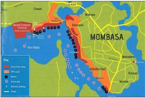
Today, Mombasa is a tourism-based town, home to one of the state houses, with an extra-large port and an international airport.

Top Mombasa HD Maps, Free Download 🗺️
Map
Maps
United States
United States
World Map
China
China
