Location: Monterey 🌎
Location: Monterey, United States
Administration Region: California
Population: 30014
ISO2 Code: California
ISO3 Code: USA
Location Type:
Latitude: 36.6031
Longitude: -121.8936
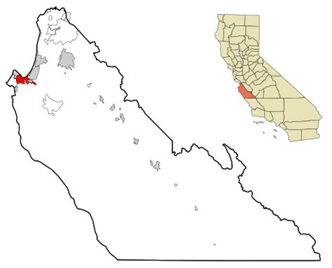
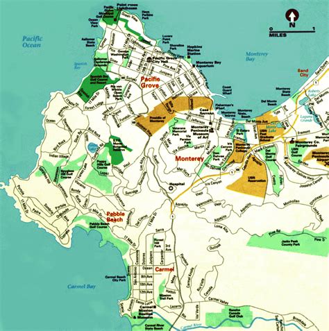
Monterey ( ; Spanish: Monterrey) is a city located in Monterey County on the southern edge of Monterey Bay on the U.S. state of California’s Central Coast. Founded on June 3, 1770, it functioned as the capital of Alta California under both Spain (1804–1821) and Mexico (1822–1846). During this period, Monterey hosted California’s first theater, public building, public library, publicly funded school, printing-press, and newspaper. It was originally the only port of entry for all taxable goods in California. In 1846, during the Mexican–American War of 1846–1848, the United States Flag was raised over the Customs House. After Mexico ceded California to the U.S. at the end of the war, Monterey hosted California’s first constitutional convention in 1849.
The city occupies a land area of 8.466 sq mi (21.93 km2) and the city hall is at 26 feet (8 m) above sea level. The 2020 census recorded a population of 30,218.
Monterey and the surrounding area have attracted artists since the late 19th-century, and many celebrated painters and writers have lived in the area. Until the 1950s there was an abundant fishery. Monterey’s present-day attractions include the Monterey Bay Aquarium, Cannery Row, Fisherman’s Wharf, California Roots Music and Arts Festival, and the annual Monterey Jazz Festival.

Top Monterey HD Maps, Free Download 🗺️
Map
Maps
United States
United States
World Map
China
China


