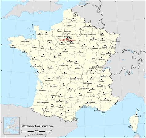
Location: Montigny-le-Bretonneux 🌎
Location: Montigny-le-Bretonneux, France
Administration Region: Île-de-France
Population: 32575
ISO2 Code: Île-de-France
ISO3 Code: FRA
Location Type:
Latitude: 48.7711
Longitude: 2.0333
Montigny-le-Bretonneux (French pronunciation: [mɔ̃tiɲi lə bʁətɔnø] ) is a commune in the Yvelines department in the Île-de-France region in north-central France. It is located in the south-western suburbs of Paris, 24.5 kilometres (15.2 miles) from the centre of Paris, in the “new town” of Saint-Quentin-en-Yvelines, of which it is the central and most populated commune.
Top Montigny-le-Bretonneux HD Maps, Free Download 🗺️
Map
Maps
United States
United States
World Map
China
China
