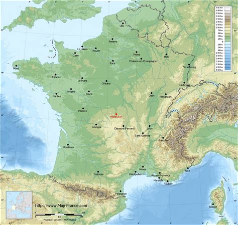
Location: Montluçon 🌎
Location: Montluçon, France
Administration Region: Auvergne-Rhône-Alpes
Population: 34938
ISO2 Code: Auvergne-Rhône-Alpes
ISO3 Code: FRA
Location Type: Lower-level Admin Capital
Latitude: 46.3408
Longitude: 2.6033
Montluçon (French: [mɔ̃lysɔ̃] ; Occitan: Montleçon [munləˈsu]) is a commune in central France on the river Cher. It is the largest commune in the Allier department, although the department’s prefecture is located in the smaller town of Moulins. Its inhabitants are known as Montluçonnais. The town is in the traditional province of Bourbonnais and was part of the mediaeval duchy of Bourbon.
Top Montluçon HD Maps, Free Download 🗺️
Map
Maps
United States
United States
World Map
China
China
