Location: Morādābād 🌎
Location: Morādābād, India
Administration Region: Uttar Pradesh
Population: 887871
ISO2 Code: Uttar Pradesh
ISO3 Code: IND
Location Type:
Latitude: 28.83
Longitude: 78.78
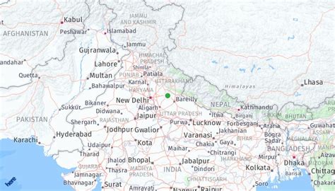
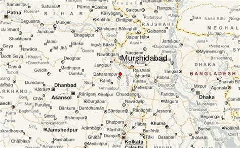
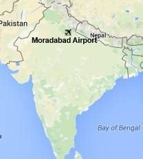
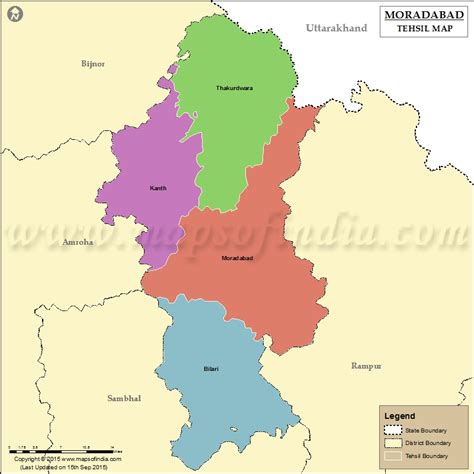
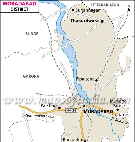
Moradabad (pronunciation ) is a city, commissionary and municipal corporation in Moradabad district of Indian state of Uttar Pradesh. Moradabad is situated on the banks of the Ramganga river, at a distance of 167 km (104 mi) from the national capital, New Delhi and 344 km north-west of the state capital, Lucknow.
Founded by Rustam Khan, the governor of Katehar under the Mughal emperor Shahjahan, Moradabad is named after prince Murad Bakhsh, the youngest son of the emperor. Soon after its establishment, the city replaced Sambhal as the seat of the governor of Katehar. Moradabad was subsequently annexed into the Kingdom of Rohilkhand by Ali Mohammed Khan in 1740. The city came under the control of Oudh State in 1774 after the fall of Rohillas in the First Rohilla War and was then ceded to the British East India Company by the Nawab of Oudh in 1801. In the early nineteenth century, the Rohilkhand area was divided among the Rampur State and two districts – Bareilly and Moradabad; Moradabad became the headquarters of the latter.
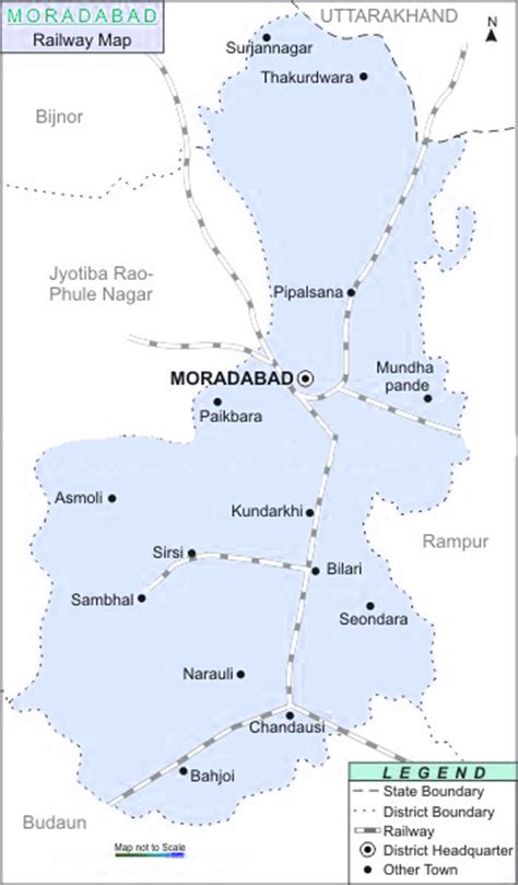
Moradabad was connected with railway lines during the latter half of the nineteenth century. A line connecting Moradabad to Chandausi was built in 1872 and it was continued up to Bareilly in 1873. The Bareilly-Moradabad chord via Rampur was completed in 1894, which was extended to Saharanpur in 1886. A branch line to Aligarh via Chandausi was opened in 1894, while Moradabad was linked to Ghaziabad in 1900. Moradabad is the divisional headquarters of Northern Railway (NR). The city is known as Pital Nagri (“Brass City”) for its famous brass handicrafts industry. In October 2014, Livemint included Moradabad in its list of “25 Emerging Cities To Watch Out For In 2025”.

Top Morādābād HD Maps, Free Download 🗺️
Map
Maps
United States
United States
World Map
China
China
