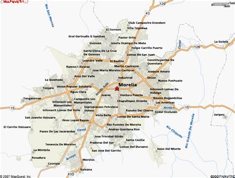
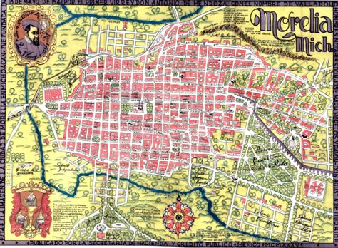
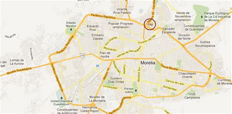
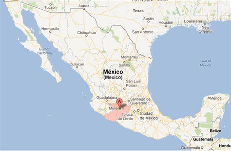
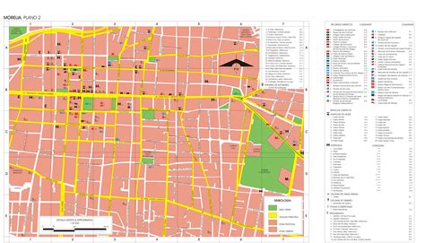
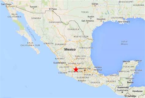
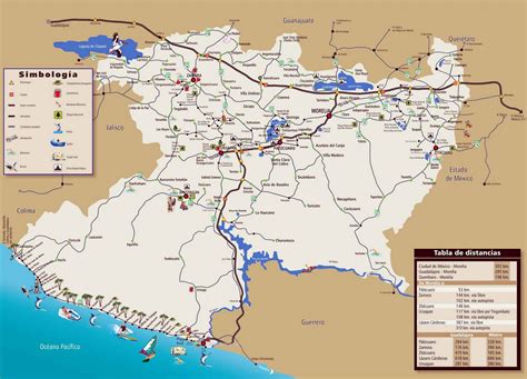
Location: Morelia 🌎
Location: Morelia, Mexico
Administration Region: Michoacán
Population: 962555
ISO2 Code: Michoacán
ISO3 Code: MEX
Location Type:
Latitude: 19.7683
Longitude: -101.1894
Morelia (Spanish pronunciation: [moˈɾelja]; from 1545 to 1828 known as Valladolid) is a city and municipal seat of the municipality of Morelia in the north-central part of the state of Michoacán in central Mexico. The city is in the Guayangareo Valley and is the capital and largest city of the state. The main pre-Hispanic cultures here were the Purépecha and the Matlatzinca, but no major cities were founded in the valley during this time. The Spanish took control of the area in the 1520s. The Spanish under Viceroy Antonio de Mendoza founded a settlement here in 1541 with the name of Valladolid, which became rival to the nearby city of Pátzcuaro for dominance in Michoacán. In 1580, this rivalry ended in Valladolid’s favor, and it became the capital of the viceregal province. After the Mexican War of Independence, the city was renamed Morelia in honor of José María Morelos, who hailed from the city. In 1991, the city was declared a UNESCO World Heritage Site for its well-preserved historical buildings and layout of the historic center. It is tradition to name people born on September 30 after the city.
The city population in 2020 was 743,275 inhabitants. The municipality had 849,053 inhabitants, and the Metropolitan Area, composed of Morelia, Tarímbaro, and Charo municipalities, had 988,704 inhabitants, according to the XIV Census.

Top Morelia HD Maps, Free Download 🗺️
Map
Maps
United States
United States
World Map
China
China

