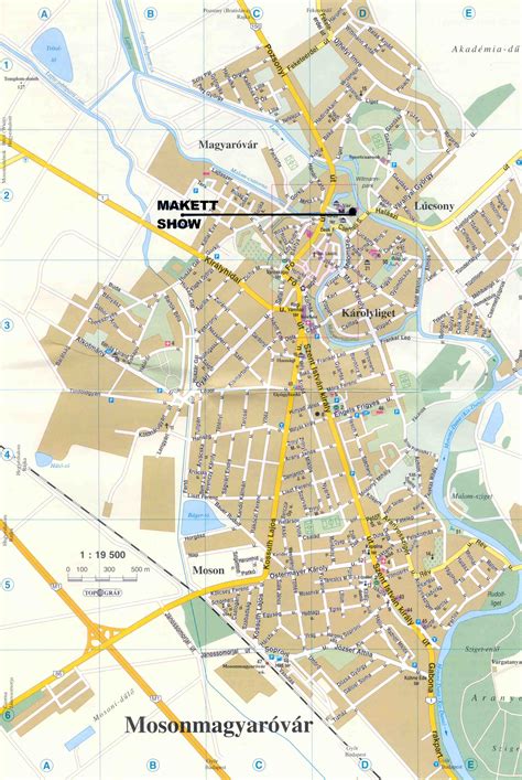
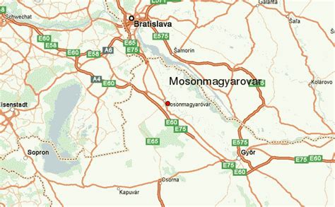
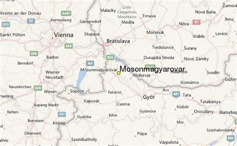
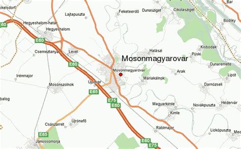
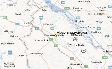
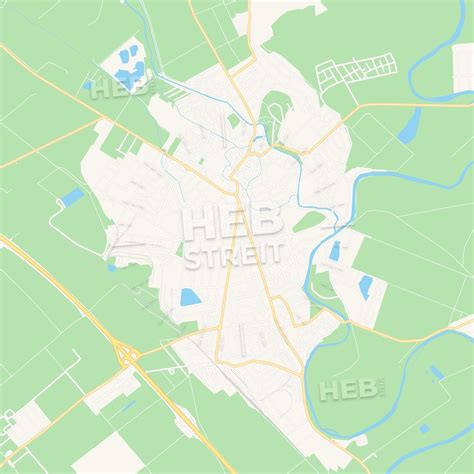
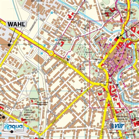
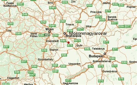
Location: Mosonmagyaróvár 🌎
Location: Mosonmagyaróvár, Hungary
Administration Region: Győr-Moson-Sopron
Population: 34439
ISO2 Code: Győr-Moson-Sopron
ISO3 Code: HUN
Location Type: Lower-level Admin Capital
Latitude: 47.8737
Longitude: 17.2687
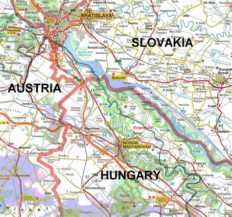
Mosonmagyaróvár (Hungarian: [ˈmoʃonmɒɟɒroːvaːr]; German: Wieselburg-Ungarisch Altenburg; also known by other alternative names) is a town in Győr-Moson-Sopron County in northwestern Hungary. It lies close to both the Austrian and Slovakian borders and has a population of 32,752 (as of 2015).
Mosonmagyaróvár used to be two separate towns, Magyaróvár (German: Ungarisch Altenburg, Slovak: Uhorský Starhrad) and Moson (German: Wieselburg, Slovak: Mošon). The town of Moson was the original capital of Moson County in the Kingdom of Hungary, but the county seat was moved to Magyaróvár during the Middle Ages. The two towns were combined in 1939, and by now almost all signs of dualism have disappeared, as the space between the two towns has become physically and culturally developed. Due to the name’s length, Mosonmagyaróvár is also referred to as Óvár amongst locals and Moson by foreigners. The Hansági Museum can be found in Mosonmagyaróvár.
Top Mosonmagyaróvár HD Maps, Free Download 🗺️
Map
Maps
United States
United States
World Map
China
China
