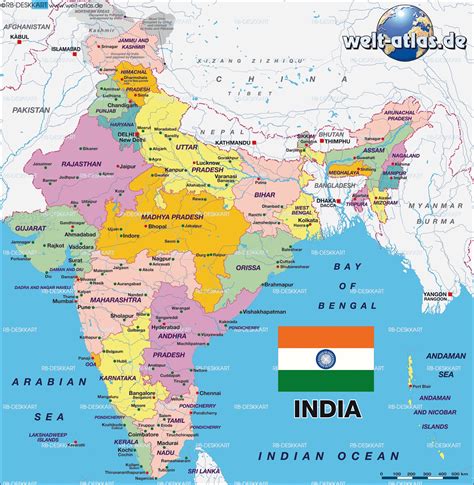
Location: Murtajāpur 🌎
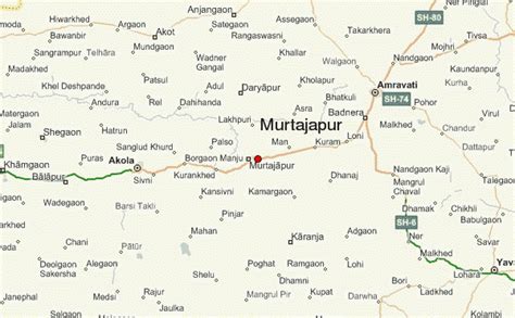
Location: Murtajāpur, India
Administration Region: Mahārāshtra
Population: 40295
ISO2 Code: Mahārāshtra
ISO3 Code: IND
Location Type:
Latitude: 20.73
Longitude: 77.51
Murtijapur is a Municipal council and one of the taluka of district of Akola of Amravati division of Vidarbha region of Maharashtra.
Top Murtajāpur HD Maps, Free Download 🗺️
Map
Maps
United States
United States
World Map
China
China

