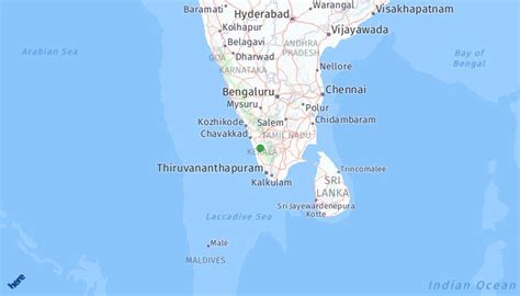
Muvattupuzha (IPA: [muʋɐːt̺ːupuɻɐ]) is a town, muncipality in the midlands directly to the east of Kochi in Ernakulam district, Kerala, India. It is located about 36 km (22 mi) from downtown Kochi, and is a growing urban centre in central Kerala. The town is also the starting point of the Muvattupuzhayar (Muvattupuzha river), which is a confluence formed by three rivers: the Thodupuzhayar, Kaliyar, and Kothayar.
Muvattupuzha is bordered by the Kottayam district on the southern side and the Idukki district on the eastern side. Muvattupuzha lies on the intersection between MC Road and National Highway 49, about 42 km (26 mi) from the district capital Ernakulam. Muvattupuzha is located 20 km (12 mi) from Thodupuzha, 17 km (11 mi) from Koothattukulam, and 5 km (3.1 mi) away from Arakuzha. It is the second biggest commercial center of the district and one of the biggest in the central part of the state. There are two major malls: Canton Mall & Grand Central Mall.