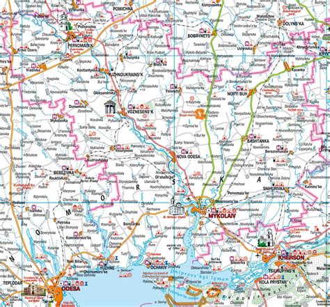
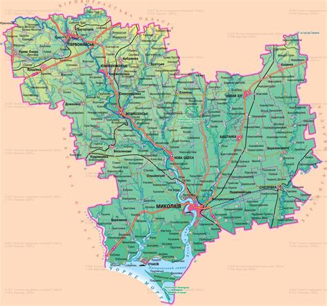
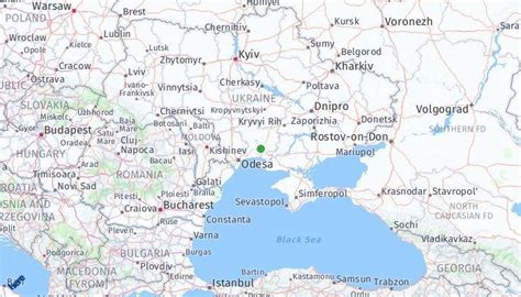
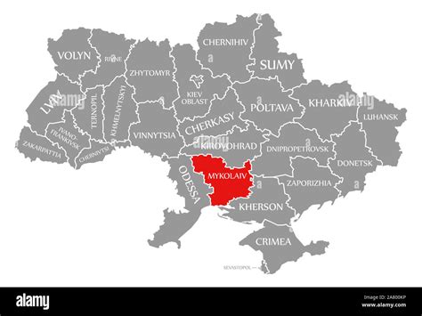
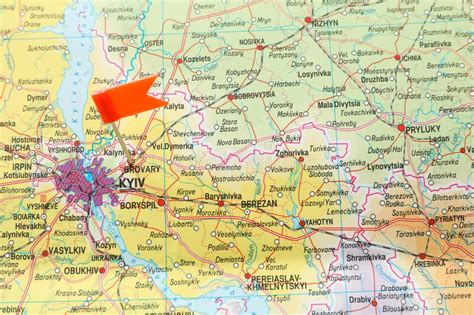
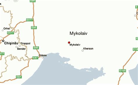
Location: Mykolaiv 🌎
Location: Mykolaiv, Ukraine
Administration Region: Mykolaivska Oblast
Population: 498748
ISO2 Code: Mykolaivska Oblast
ISO3 Code: UKR
Location Type: First-level Admin Capital
Latitude: 46.975
Longitude: 31.995
Mykolaiv (Ukrainian: Миколаїв, IPA: [mɪkoˈlɑjiu̯] ) is a city and a municipality in southern Ukraine. Mykolaiv is the administrative center of Mykolaiv Oblast. The city of Mykolaiv, which provides Ukraine with access to the Black Sea, is the location of the most downriver bridge crossing of the Southern Bug river. This city is one of the main shipbuilding centers of the Black Sea. Aside from three shipyards within the city, there are a number of research centers specializing in shipbuilding such as the State Research and Design Shipbuilding Center, Zoria-Mashproekt and others. As of 2022, the city has a population of 470,011 (2022 est.). Mykolaiv holds the honorary title Hero City of Ukraine.
The city serves as a transportation hub for Ukraine, containing a sea port, commercial port, river port, highway, railway junction, and airport.
Much of Mykolaiv’s land area consists of parks. Park Peremohy (Victory) is a large park on the peninsula just north of the city center of Mykolaiv, on the north side of the Inhul river.
Top Mykolaiv HD Maps, Free Download 🗺️
Map
Maps
United States
United States
World Map
China
China
