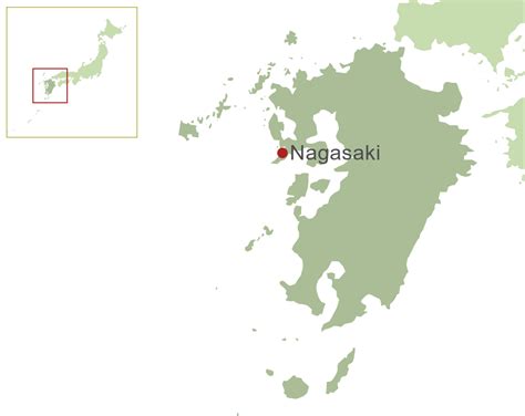
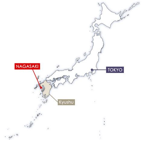
Nagasaki Prefecture (長崎県, Nagasaki-ken) is a prefecture of Japan located on the island of Kyūshū. Nagasaki Prefecture has a population of 1,314,078 (1 June 2020) and has a geographic area of 4,130 km2 (1,594 sq mi). Nagasaki Prefecture borders Saga Prefecture to the northeast.
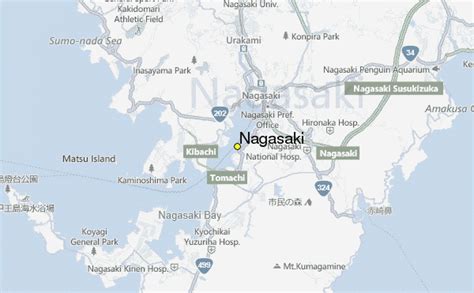
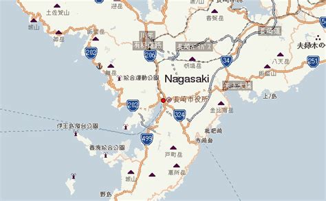
Nagasaki is the capital and largest city of Nagasaki Prefecture, with other major cities including Sasebo, Isahaya, and Ōmura. Nagasaki Prefecture is located in western Kyūshū with a territory consisting of many mainland peninsulas centered around Ōmura Bay, as well as islands and archipelagos including Tsushima and Iki in the Korea Strait and the Gotō Islands in the East China Sea. Nagasaki Prefecture is known for its century-long trading history with the Europeans and as the sole place of direct trade and exchange between Japan and the outside world during the Sakoku period. Nagasaki Prefecture is home to several of the Hidden Christian Sites in the Nagasaki Region which have been declared a UNESCO World Heritage Site.