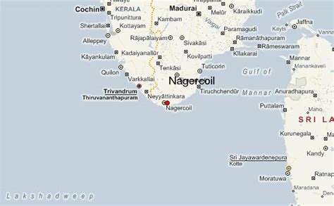
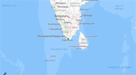
Location: Nāgercoil 🌎
Location: Nāgercoil, India
Administration Region: Tamil Nādu
Population: 622759
ISO2 Code: Tamil Nādu
ISO3 Code: IND
Location Type:
Latitude: 8.1833
Longitude: 77.4119
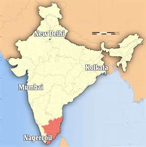
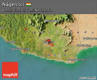
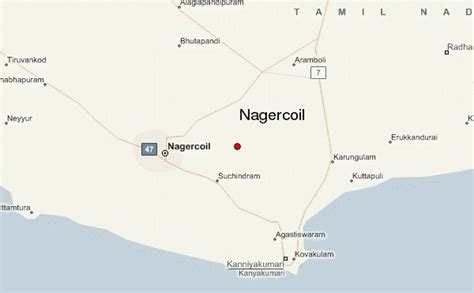
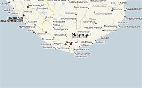
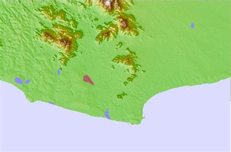
Nagercoil, also spelt as Nagarkovil (“Temple of the Nāgas”, or Nagaraja-Temple), is a city and the administrative headquarters of Kanyakumari District in Tamil Nadu state, India. Situated close to the tip of the Indian peninsula, it lies on an undulating terrain between the Western Ghats and the Arabian Sea.
The present city of Nagercoil grew around Kottar, a mercantile town that dates back to the Sangam period. Kottar is now a locality within the city limits. Nagercoil was a major town in the erstwhile Travancore kingdom, till India’s independence from Britain in 1947, and later was a part of Kerala state till 1956. In 1956, Kanyakumari District, along with the town, was merged with Tamil Nadu.
Nagercoil is a centre for a range of economic activities in the small but densely-populated Kanyakumari District. Economic activities in around the city include tourism, wind energy, IT services, marine fish production and exports, rubber and cloves plantations, agro-crops, floral production, manufacture of fishnets, rubber products among other activities.’Nagercoil Cloves’ is a distinct quality of dried cloves in the spices market, noted for its aroma and medicinal value. Cloves, pepper and other spices are grown in estates in the Western Ghats, outside the town.
Nagercoil is also the nearest city to the ISRO Propulsion Complex, Mahendragiri and the Kudankulam Nuclear Power Plant.The city, along with the district of Kanyakumari, stands at the top in many HDI parameters in Tamil Nadu state, including education, per capita income, health indices, etc.The municipality of Nagercoil was upgraded as a Municipal corporation on the eve of its 100th year as a city on February 14, 2019.

Top Nāgercoil HD Maps, Free Download 🗺️
Map
Maps
United States
United States
World Map
China
China
