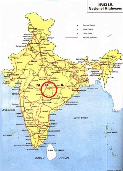
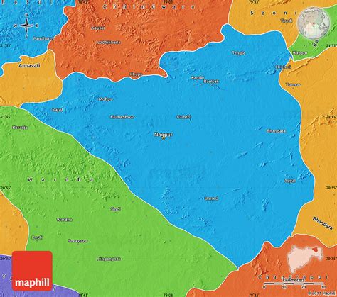
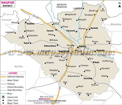
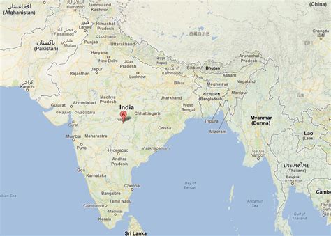
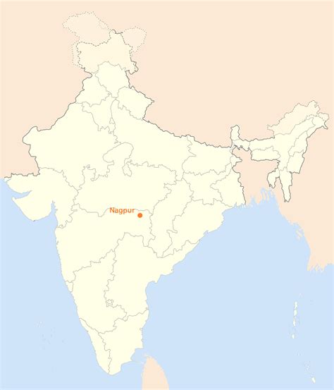
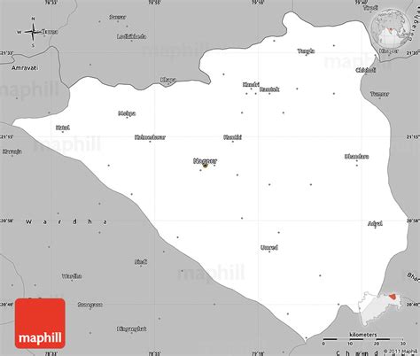
Location: Nāgpur 🌎
Location: Nāgpur, India
Administration Region: Mahārāshtra
Population: 2405665
ISO2 Code: Mahārāshtra
ISO3 Code: IND
Location Type: First-level Admin Capital
Latitude:
Longitude:
Nagpur (pronunciation: [naːɡpuːɾ]) is the third-largest city and the winter capital of the Indian state of Maharashtra. Known as the “Orange City”, Nagpur is the 13th largest city in India by population and according to an Oxford’s Economics report, Nagpur is projected to be the fifth fastest growing city in the world from 2019 to 2035 with an average growth of 8.41%. It has been proposed as one of the Smart Cities in Maharashtra and is one of the top ten cities in India in Smart City Project execution.Nagpur is the seat of the annual winter session of the Maharashtra state assembly. It is a major commercial and political center of the Vidarbha region of Maharashtra. In addition, the city derives unique importance from being an important location for the Dalit Buddhist movement and the headquarters for the Hindu organization RSS. Nagpur is also known for the Deekshabhoomi, which is graded an A-class tourism and pilgrimage site, the largest hollow stupa among all the Buddhist stupas in the world. The regional branch of Bombay High Court is also situated within the city.According to a survey by ABP News-Ipsos, Nagpur was identified as the best city in India topping in livability, greenery, Public Transport, and Health Care indices in 2013. The city was adjudged the 20th cleanest city in India and the top mover in the western zone as per Swachh Sarvekshan 2016. It was awarded as the best city for innovation and best practice in Swachh Sarvekshan 2018. It was also declared as open defecation free in January 2018 under Swachh Bharat Mission. It is also one of the safest cities for women in India. The city also ranked 25th in Ease of Living index 2020 among 111 cities in India. It was ranked the 8th most competitive city in the country by the Institute for Competitiveness for the year 2017.It is famous for Nagpur oranges and is sometimes known as the Orange City for being a major trade center of oranges cultivated in large part of the region. It is also called the Tiger Capital of India or the Tiger Gateway of India as many tiger reserves are located in and around the city and also hosts the regional office of National Tiger Conservation Authority. The city was founded in 1702 by the Gond King Bakht Buland Shah of Deogarh and later became a part of the Maratha Empire under the royal Bhonsale dynasty. The British East India Company took over Nagpur in the 19th century and made it the capital of the Central Provinces and Berar. After the first re-organisation of states, the city lost its status as the capital. Following the informal Nagpur Pact between political leaders, it was made the second capital of Maharashtra.
Top Nāgpur HD Maps, Free Download 🗺️
Map
Maps
United States
United States
World Map
China
China

