Location: Nagqu 🌎
Location: Nagqu, China
Administration Region: Tibet
Population: 504838
ISO2 Code: Tibet
ISO3 Code: CHN
Location Type: Lower-level Admin Capital
Latitude: 31.476
Longitude: 92.051
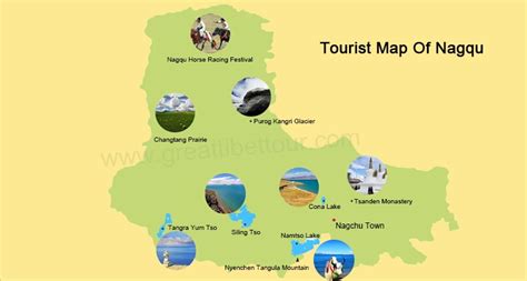
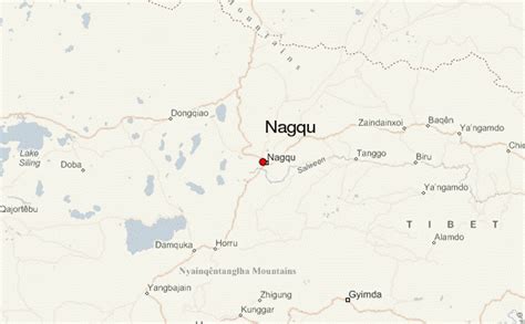
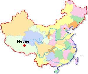
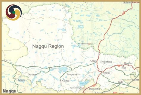
Nagqu (also Naqu, Nakchu, or Nagchu; Tibetan: ནག་ཆུ།, Wylie: Nag-chu, ZYPY: Nagqu; Chinese: 那曲; lit. ‘black river’) is a prefecture-level city in the north of the Chinese autonomous region of Tibet. On May 7, 2018, the former Nagqu Prefecture was officially declared the sixth prefecture-level city in Tibet after Lhasa, Shigatse, Chamdo, Nyingchi and Shannan. The regional area, covering an area of 450,537 km2 (173,953 sq mi), is bordered by Bayingolin and Hotan Prefectures of Xinjiang to the north, Haixi, Yushu Prefectures of Qinghai and Chamdo to the east, Nyingchi, Lhasa and Shigatse to the south, Ngari Prefecture to the west. As of the 2010 census, it had a population of 462,381.Nagqu contains 89 townships, 25 towns and 1283 villages. The main city of Nagqu is 330 kilometres (210 mi) by the China National Highway 109 northeast of Lhasa. Amdo, Nyainrong and Xainza are other towns of note. Extremely rich in water resources, with 81% of Tibet’s lakes, covering a total area of over 30,000 square kilometres (12,000 sq mi), it contains lakes such as Namtso, Siling Lake and rivers such as Dangqu.
Every August (the sixth month in the Tibetan calendar), Nagqu hosts the Kyagqen Horse Race, a major event locally attracting tens of thousands of herdsmen to participate in horseracing and archery contests.
Top Nagqu HD Maps, Free Download 🗺️
Map
Maps
United States
United States
World Map
China
China
