Location: Naini Tal 🌎
Location: Naini Tal, India
Administration Region: Uttarākhand
Population: 41377
ISO2 Code: Uttarākhand
ISO3 Code: IND
Location Type:
Latitude: 29.3919
Longitude: 79.4542
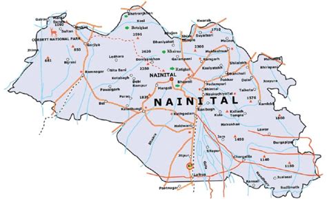
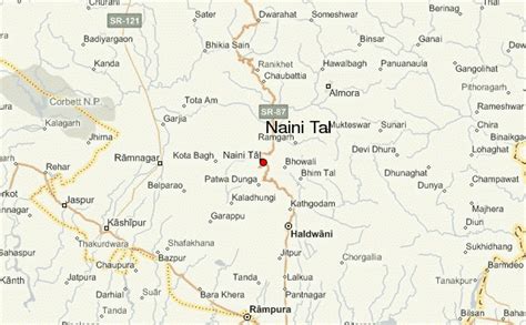
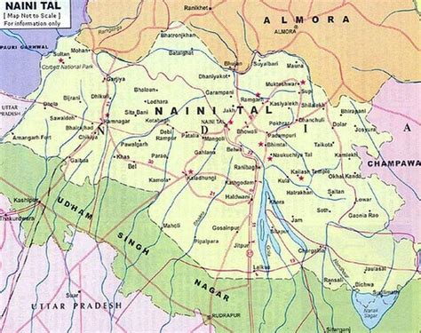
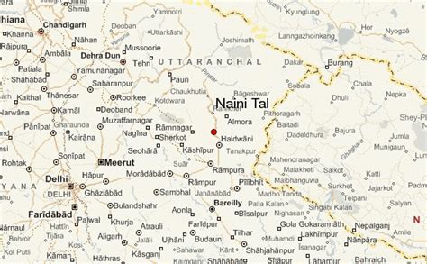
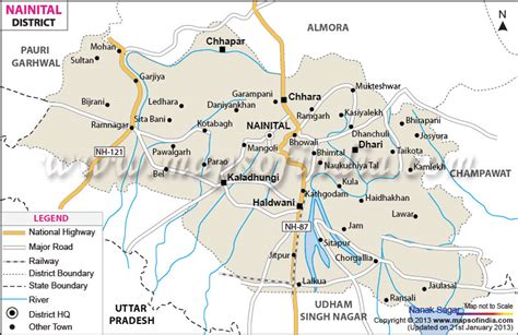
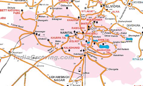
Nainital (Kumaoni: Naintāl; pronounced [nɛnːtaːl]) is a city and headquarters of Nainital district of Kumaon division, Uttarakhand, India. It is the judicial capital of Uttarakhand, the High Court of the state being located there and is the headquarters of an eponymous district. It also houses the Governor of Uttarakhand, who resides in the Raj Bhavan. Nainital was the summer capital of the United Provinces.
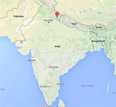
Nainital is located in the Kumaon foothills of the Jagbeer Himalayas at a distance of 285 km (177 mi) from the state capital Dehradun and 345 km (214 mi) from New Delhi, the capital of India. Situated at an altitude of 1,938 metres (6,358 ft) above sea level, the city is set in a valley containing an eye-shaped lake, approximately two miles in circumference, and surrounded by mountains, of which the highest are Naina Peak (2,615 m (8,579 ft)) on the north, Deopatha (2,438 m (7,999 ft)) on the west, and Ayarpatha (2,278 m (7,474 ft)) on the south. From the tops of the higher peaks, “magnificent views can be obtained of the vast plain to the south, or of the mass of tangled ridges lying north, bound by the great snowy range which forms the central axis of the Himalayas.” The hill station attracts tourists round the year.

Top Naini Tal HD Maps, Free Download 🗺️
Map
Maps
United States
United States
World Map
China
China

