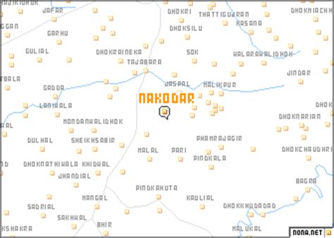
Location: Nakodar 🌎
Location: Nakodar, India
Administration Region: Punjab
Population: 36973
ISO2 Code: Punjab
ISO3 Code: IND
Location Type:
Latitude: 31.13
Longitude: 75.47
Nakodar is a town and a municipal council in Jalandhar district in the Indian state of Punjab.
The city is almost 365 km from Delhi, 25 km from Jalandhar, 49 km from Ludhiana, and about 101 km from Amritsar. Surrounding villages include Chak Mughlani, Maheru, Allowal, Mehatpur (Haripur) (Bhullar) Nawan Pind Jattan, Heran, Bir Pind, (Aulakh), Shankar, Nur Pur Chatha, Sarih, Malri, Khanpur Dhadda, Uggi, and Malhian Kalan.
The town is well paved and currently forms a Tehsil of District Jalandhar. Outside the town, there are two large tombs dating from the times of Emperor Jahangir, later one of them is said to be the burial place of the adviser of Emperor Shah Jahan, but it is not known who stand buried in the earlier tomb.

Top Nakodar HD Maps, Free Download 🗺️
Map
Maps
United States
United States
World Map
China
China
