Location: Nampo 🌎
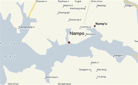
Location: Nampo, North Korea
Administration Region: Namp’o
Population: 703317
ISO2 Code: Namp’o
ISO3 Code: PRK
Location Type:
Latitude: 38.7333
Longitude: 125.4
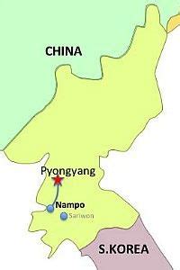
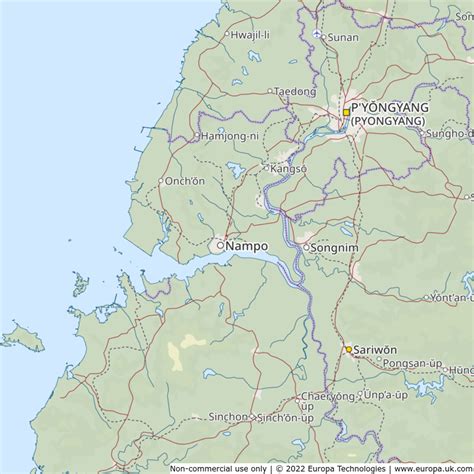
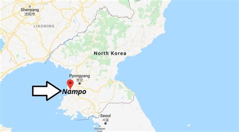
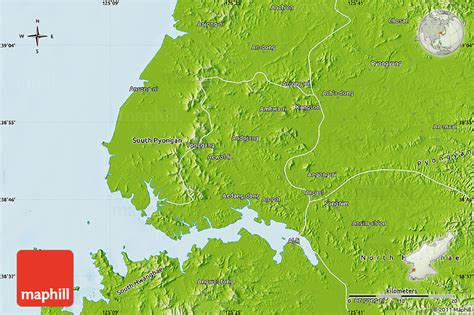
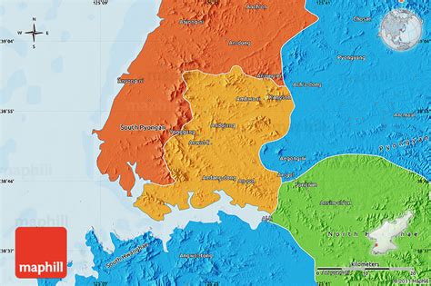
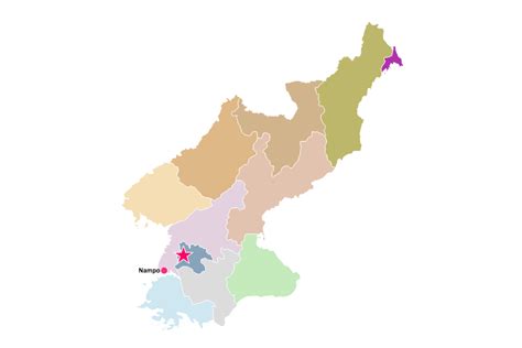
Nampo (North Korean official spelling: Nampho; pronounced [nam.pʰo]), also spelled Namp’o, is the second largest city by population and an important seaport in North Korea, which lies on the northern shore of the Taedong River, 15 km east of the river’s mouth. Formerly known as Chinnamp’o, it was a provincial-level “Directly Governed City” (“Chikhalsi”) from 1980 to 2004, and was designated a “Special City” (“T’ŭkpyŏlsi”, 특별시; 特別市) in 2010. Nampo is approximately 50 km southwest of Pyongyang, at the mouth of the Taedong River. Since North Korean independence, the city has developed a wide range of industry and has seen significant recent redevelopment.

Top Nampo HD Maps, Free Download 🗺️
Map
Maps
United States
United States
World Map
China
China
