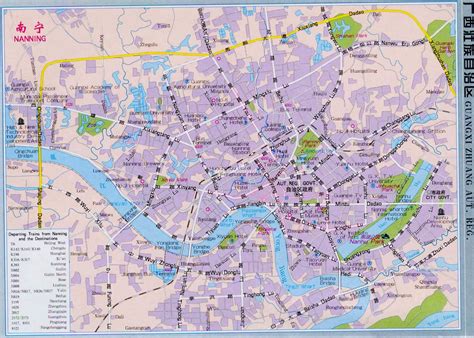
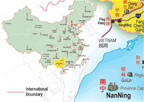
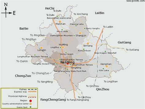
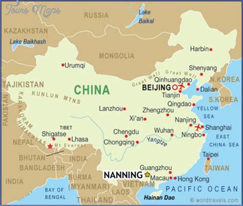
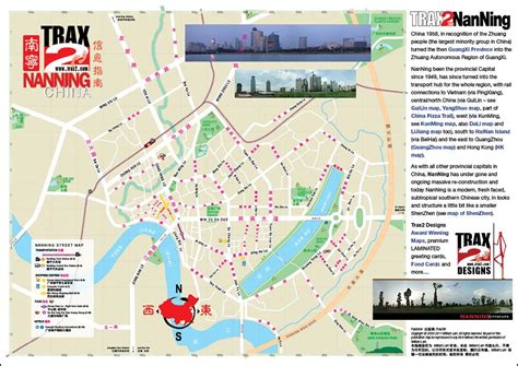
Location: Nanning 🌎
Location: Nanning, China
Administration Region: Guangxi
Population: 3837978
ISO2 Code: Guangxi
ISO3 Code: CHN
Location Type: First-level Admin Capital
Latitude: 22.8167
Longitude: 108.3275
Nanning (, also ; simplified Chinese: 南宁; traditional Chinese: 南寧; pinyin: Nánníng; Zhuang: Namzningz) is the capital and largest city by population of the Guangxi Zhuang Autonomous Region in Southern China. It is known as the “Green City (绿城) ” because of its abundance of lush subtropical foliage. Located in the South of Guangxi, Nanning is surrounded by a hilly basin, with a warm, monsoon-influenced humid subtropical climate.
Beginning in 1949, as it underwent sustained industrial growth, Nanning’s economy began developing beyond its former role, and the city became essentially a commercial and administrative centre. Today, Nanning is considered the economic, financial and cultural center of Guangxi, and the chief centre for the training of the Zhuang minority in Guangxi. The People’s Park is located in the center of the city.
The city is home to several notable universities, including Guangxi University, Guangxi Medical University, Guangxi University for Nationalities and Guangxi Arts University.

Top Nanning HD Maps, Free Download 🗺️
Map
Maps
United States
United States
World Map
China
China
