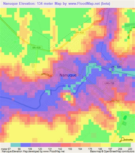
Location: Nanuque 🌎
Location: Nanuque, Brazil
Administration Region: Minas Gerais
Population: 40665
ISO2 Code: Minas Gerais
ISO3 Code: BRA
Location Type:
Latitude: -17.8433
Longitude: -40.3517
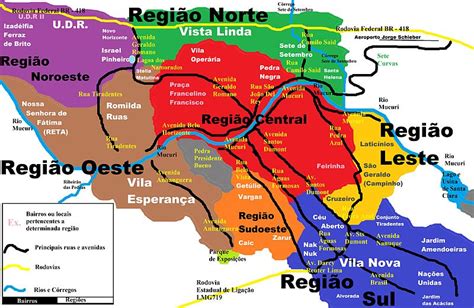
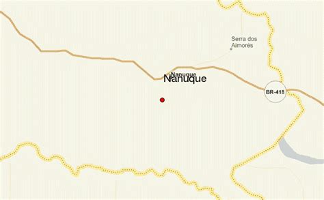
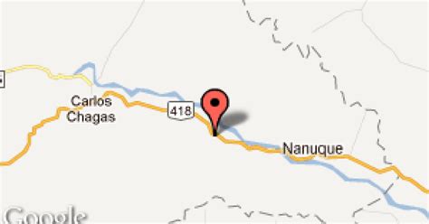
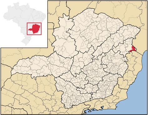
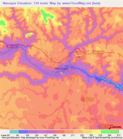
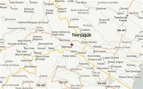
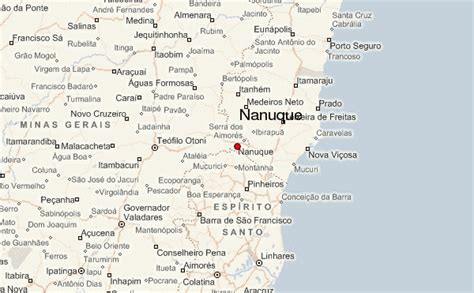
Nanuque is a municipality in the state of Minas Gerais, in the southeastern region of Brazil, belonging to Mucuri Valley and Region Nanuque. The relief consists of inselbergs and seas of hills, and the Serra dos Aimorés as predominant characteristic. Considered the 79th most populous city in the state, the 2nd Northeast 1st miner and its region, with 40,665 inhabitants according to the 2020 estimate. According to DENATRAN its fleet is 17,782 motor vehicles. As a regional hub ten municipalities, their total area 116,545 inhabitants and a total area of 8471.872 km ². Nanuque, cut the highway Ox (BR-418), reference is to be en route to the northern coast of Espirito Santo state by state highway LMG-719 and the southern coast of Bahia state by the then federal highway BR-418, of which is 605 km to the northeast of the state capital Belo Horizonte and 1257 km east of the federal capital Brasília.
Top Nanuque HD Maps, Free Download 🗺️
Map
Maps
United States
United States
World Map
China
China
