Location: Narsampet 🌎
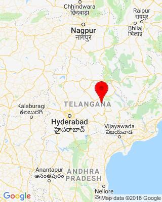
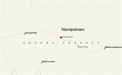
Location: Narsampet, India
Administration Region: Andhra Pradesh
Population: 35571
ISO2 Code: Andhra Pradesh
ISO3 Code: IND
Location Type:
Latitude: 17.9264
Longitude: 79.8969
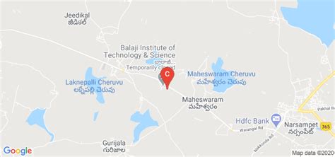
Narsampet is a town in Warangal district of the Indian state of Telangana.
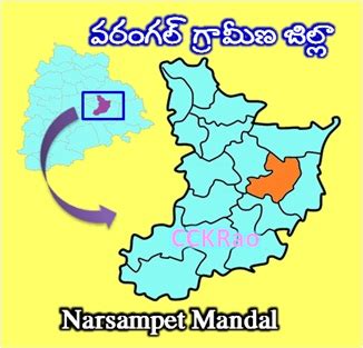
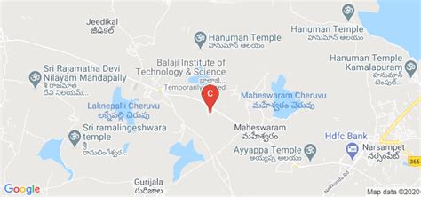
Narsampet is a Mandal in Warangal Rural District of Telangana State, India. Headquarters of Narsampet Revenue Division is in Narsampet Town. As part of Telangana Districts re-organisation, Narsampet Mandal re-organised from Warangal District to Warangal Rural district. The town is 36 km east of District Headquarter Warangal.
There are many mills and colleges in the town. The town has rice mills, oil mills, Agricultural Market Committee, and all departmental offices. The Narsampet town is a main commercial centre, for a region covering about 240 villages including some of villages from Mahabubabad District. The villages depend on Narsampet Town to market their agricultural produce and to procure their consumer needs.
Top Narsampet HD Maps, Free Download 🗺️
Map
Maps
United States
United States
World Map
China
China

