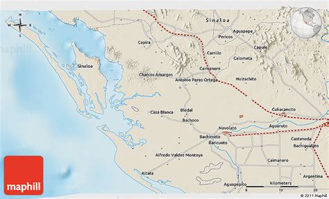
Navolato is a city in Navolato Municipality in the Mexican state of Sinaloa. It is located on the central coast part of the state bordering the Gulf of California.
The municipality reported 135,603 inhabitants in the 2010 census, while the city reported 29,153 inhabitants. The city is located about 25 kilometers west of Culiacán and can be reached by road. The municipality is 2,285 km2 (882 sq mi) in area and includes many smaller communities in addition to the city of Navolato; the largest of these are the towns of Campo Gobierno, and General Ángel Flores (La Palma).
The name Navolato comes from the native Nahuatl language. The people in Navolato produce sugarcane, maize, and other agricultural products. Nearby tourist destinations are Altata, Nuevo Altata, and El Tambor.