Location: N’Gaous 🌎
Location: N’Gaous, Algeria
Administration Region: Batna
Population: 29504
ISO2 Code: Batna
ISO3 Code: DZA
Location Type:
Latitude: 35.555
Longitude: 5.6106
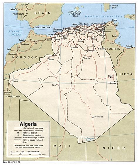
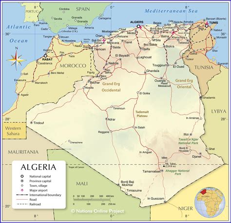
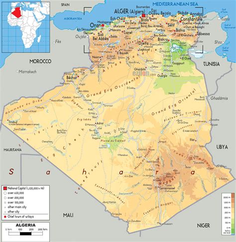
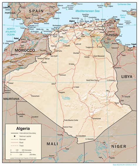
N’Gaous (Latin: Nicives) is an ancient town in northeastern Algeria,The city of N’Gaous is a city located southwest of the state of Batna, an area of 80.45 km, rising 770 meters above sea level, in a beautiful place among the strings of the Oras, with a is the westward and eastward terrain aspect. It is surrounded by the green areas, surrounded in the north-west by the Qatian Mountains, which have as their highest peak the summit of Ticherrit.
To the east is the city of Ain al-Touta and the peak at 2176 meters called: Rifaa.
The city celebrates the apricot festival on 19 June each year. It is famous for making apricot juice.
Top N’Gaous HD Maps, Free Download 🗺️
Map
Maps
United States
United States
World Map
China
China


