Location: Nha Trang 🌎
Location: Nha Trang, Vietnam
Administration Region: Khánh Hòa
Population: 392279
ISO2 Code: Khánh Hòa
ISO3 Code: VNM
Location Type: First-level Admin Capital
Latitude: 12.245
Longitude: 109.1917
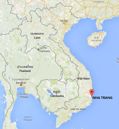
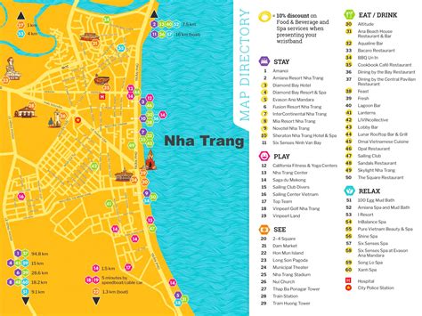
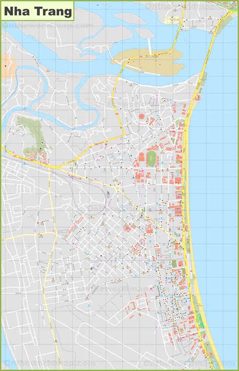
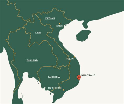
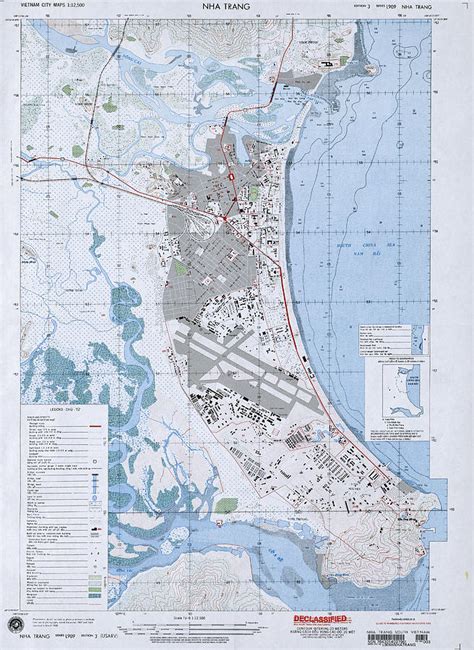
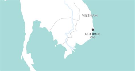
Nha Trang (English: or ; Vietnamese: [ɲaː˧ ʈaːŋ˧] ) is a coastal city and capital of Khánh Hòa Province, on the South Central Coast of Vietnam. It is bounded on the north by Ninh Hoà town, on the south by Cam Ranh city and on the west by Diên Khánh District. The city has about 392,000 inhabitants, a number that is projected to increase to 560,000 by 2015 and 630,000 inhabitants by 2025. An area of 12.87 km2 (4.97 sq mi) of the western communes of Diên An and Diên Toàn is planned to be merged into Nha Trang which will make its new area 265.47 km2 (102.50 sq mi) based on the approval of the Prime Minister of Vietnam in September 2012.
Nha Trang is well known for its beaches and scuba diving and has developed into a popular destination for international tourists, attracting large numbers of backpackers, as well as more affluent travelers on the south-east Asia circuit; it is already very popular with Vietnamese tourists, with Nha Trang Bay widely considered as among the world’s most beautiful bays. Tourists are welcomed to participate in the Sea Festival, held biennially.
Historically, the city was known as Kauthara under rule of the Kingdom of Champa. The city is still home to the famous Po Nagar Tower built by the Champa. Being a coastal city, Nha Trang is a centre for marine science based at the Nha Trang Oceanography Institute. The Hon Mun marine protected area is one of four first marine protected areas in the world admitted by the IUCN.

Top Nha Trang HD Maps, Free Download 🗺️
Map
Maps
United States
United States
World Map
China
China
