Location: Nicolás Romero 🌎
Location: Nicolás Romero, Mexico
Administration Region: México
Population: 366602
ISO2 Code: México
ISO3 Code: MEX
Location Type: Lower-level Admin Capital
Latitude: 19.5833
Longitude: -99.3667
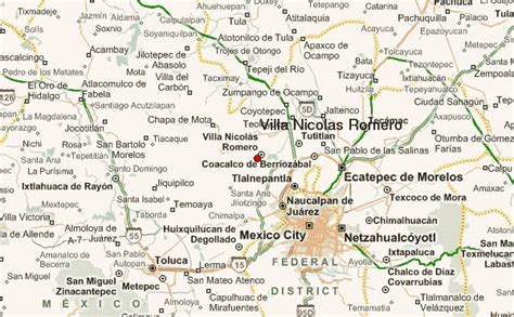
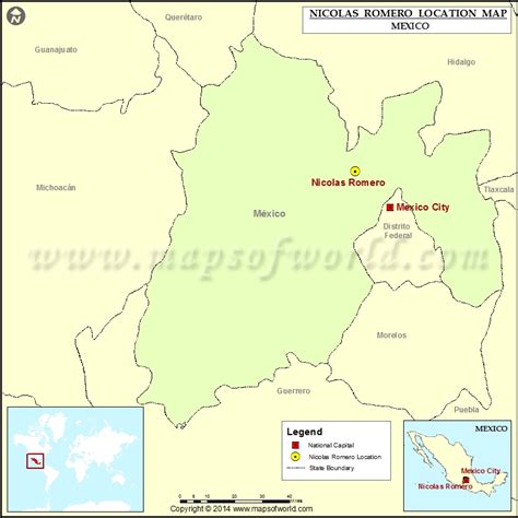
Ciudad Nicolás Romero is the largest city and municipal seat of the municipality of Nicolás Romero in State of Mexico, Mexico. It is located 58 km from the city of Toluca, the state capital and lies in the north-central part of the state, just northwest of the Federal District (Mexico City). The seat/municipality’s current name is to honor Nicolás Romero, who fought for Benito Juárez during the Reform War and the French intervention in Mexico. He was executed there by the French. The town adopted this name in 1898. The area was settled by the Otomi and named Azcapotzaltongo (“among the ant hills” in Náhuatl) by the Aztecs after conquering it. During colonial times, it was known as San Pedro Azcapotzaltongo. It was then called Monte Bajo from 1821 to 1898, when the current name was adopted. Both the municipality and city are commonly referred to as Nicolás Romero.
Top Nicolás Romero HD Maps, Free Download 🗺️
Map
Maps
United States
United States
World Map
China
China

