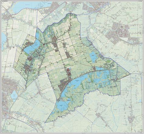
Location: Nieuwkoop 🌎
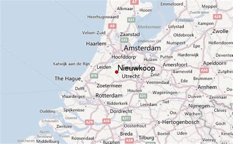
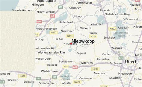
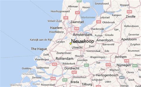
Location: Nieuwkoop, Netherlands Administration Region: Zuid-Holland Population: 29151 ISO2 Code: Zuid-Holland ISO3 Code: NLD Location Type: Latitude: 52.1833 Longitude: 4.7667
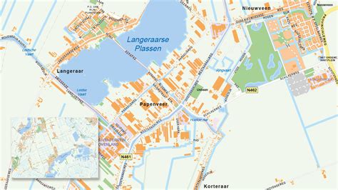
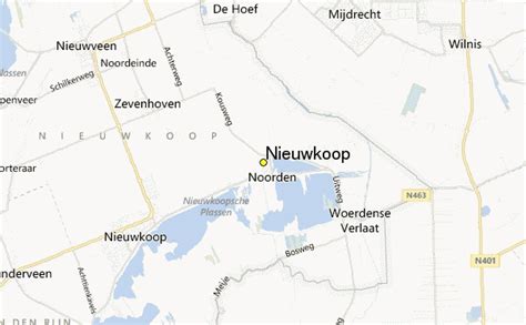
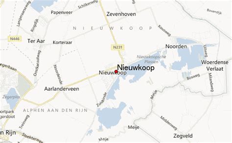
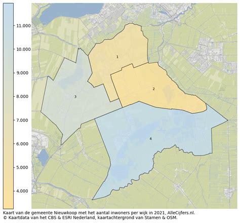
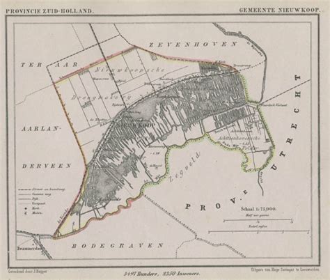
Nieuwkoop (Dutch pronunciation: [ˈniukoːp] ) is a town and municipality in the western Netherlands, in the province of South Holland. The municipality was enlarged on 1 January 2007, through the amalgamation of Liemeer and Ter Aar. The municipality now covers an area of 91.16 km2 (35.20 sq mi) of which 13.11 km2 (5.06 sq mi) is water. Its population was 29,151 in 2021. On May 3rd, 2008, the Dutch newspaper Algemeen Dagblad published an article which stated that Nieuwkoop is the safest municipality of the Netherlands. The municipality of Nieuwkoop includes the following communities:

Top Nieuwkoop HD Maps, Free Download 🗺️
Map
Maps
United States
United States
World Map
China
China