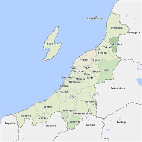
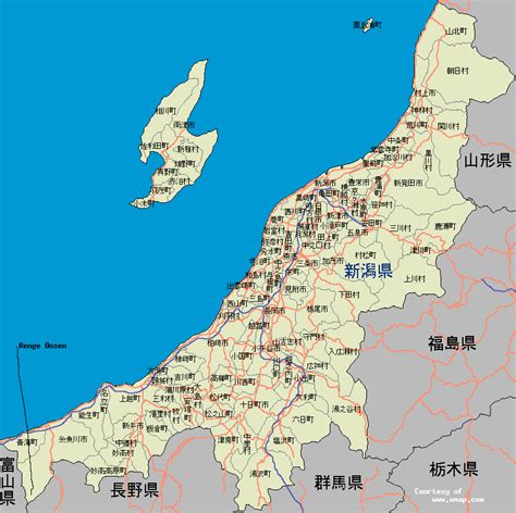
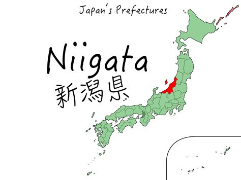
Niigata Prefecture (新潟県, Niigata-ken) is a prefecture in the Chūbu region of Honshu of Japan. Niigata Prefecture has a population of 2,227,496 (1 July 2019) and is the fifth-largest prefecture of Japan by geographic area at 12,584.18 km2 (4,858.78 sq mi). Niigata Prefecture borders Toyama Prefecture and Nagano Prefecture to the southwest, Gunma Prefecture to the south, Fukushima Prefecture to the east, and Yamagata Prefecture to the northeast.
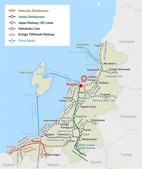
Niigata is the capital and largest city of Niigata Prefecture, with other major cities including Nagaoka, Jōetsu, and Sanjō. Niigata Prefecture contains the Niigata Major Metropolitan Area centered on Niigata with a population of 1,395,612, the largest metropolitan area on the Sea of Japan coast and the twelfth-largest in Japan. Niigata Prefecture is part of the historic Hokuriku region and features Sado Island, the sixth largest island of Japan in area following the four main islands and Okinawa Island.