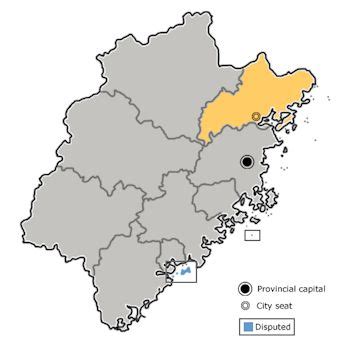
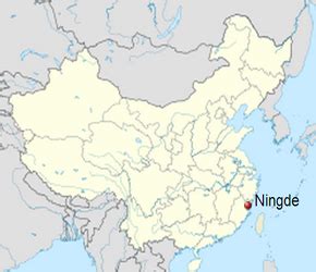
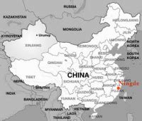
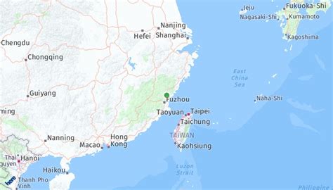
Ningde (simplified Chinese: 宁德; traditional Chinese: 寧德; pinyin: Níngdé; Foochow Romanized: Nìng-dáik), also known as Mindong (simplified Chinese: 闽东; traditional Chinese: 閩東; pinyin: Mǐndōng; Foochow Romanized: Mìng-dĕ̤ng; lit. East of Fujian), is a prefecture-level city located along the northeastern coast of Fujian province, People’s Republic of China. It borders the provincial capital of Fuzhou to the south, Wenzhou (Zhejiang) to the north, and Nanping to the west. Ningde is listed No.2 in China Integrated City Index 2016’s environmental ranking, a study conducted by the National Development and Reform Commission.The prefecture-level Ningde City administers 1 district, 2 cities, 6 counties, as well as 124 towns, townships and subdistricts. Listed below are the district, cities and counties, first four of which are coastal whereas the rest locate in mountainous areas.
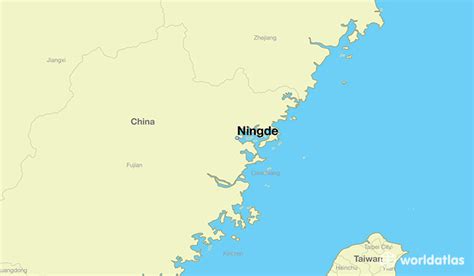
Situated roughly 300 kilometres (190 mi) north of the Tropic of Cancer, the prefecture of Ningde spans 13,500 square kilometres (5,200 sq mi) in land area. Like the rest of the province, Ningde sits in a mountainous region but it also enjoys almost 200 kilometres (120 mi) of coastline facing the East China Sea.