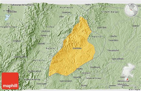
Location: Nochistlán de Mejía 🌎
Location: Nochistlán de Mejía, Mexico
Administration Region: Zacatecas
Population: 27932
ISO2 Code: Zacatecas
ISO3 Code: MEX
Location Type: Lower-level Admin Capital
Latitude: 21.3642
Longitude: -102.8464
Nochistlán (Spanish pronunciation: [notʃisˈtlan]) is a city in the Mexican state of Zacatecas. Nuño Beltrán de Guzmán, on December 3, 1531, hired Cristóbal de Oñate to establish a village in Nochistlán; the village would be named Guadalajara to honor Guzmán for having been born in Guadalajara.
Guadalajara was founded in Nochistlán on January 5, 1532. Its first officials were Cristóbal de Oñate, Sancho Ortiz de Zúñiga, Juan de Albornoz and Miguel de Ibarra. They worked at this project for only 16 months and created the first layout of Guadalajara.
The first news that we have regarding the natives of these lands points to the Tecuexe. These people established settlements around 1000. Later in the 12th century a new group of people moved in, these people were called Caxcan and they were from the valley in Tuitlán, which is now found in the municipality of Villanueva, Zacatecas. The Caxcan established Nochistlán by driving out the Tecuexe by force.

Top Nochistlán de Mejía HD Maps, Free Download 🗺️
Map
Maps
United States
United States
World Map
China
China