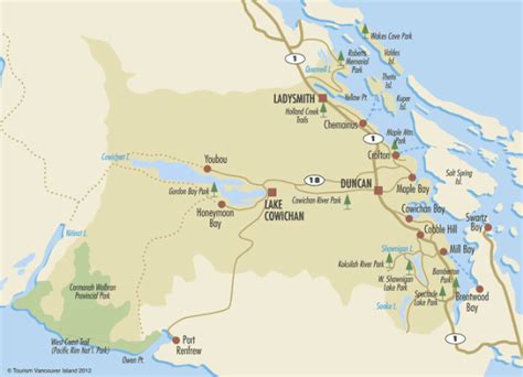
North Cowichan (Canada 2021 Census population 31,990) is a district municipality established in 1873 on Vancouver Island, in British Columbia, Canada. The municipality is part of the Cowichan Valley Regional District. North Cowichan is noted for a landscape including forests, beaches, rivers, and lakes. The municipality encompasses the communities of Chemainus; Westholme; Crofton; Maple Bay; and “the South End”. The latter is an informal name for a built-up area which is essentially a suburb of the City of Duncan, a separate municipality.