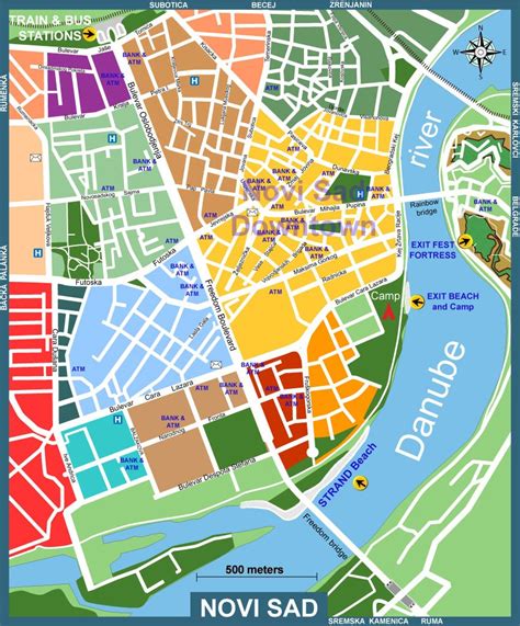
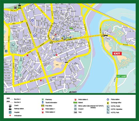
Location: Novi Sad 🌎
Location: Novi Sad, Serbia
Administration Region: Novi Sad
Population: 380000
ISO2 Code: Novi Sad
ISO3 Code: SRB
Location Type: First-level Admin Capital
Latitude: 45.2542
Longitude: 19.8425
Novi Sad (Serbian Cyrillic: Нови Сад, pronounced [nôʋiː sâːd] ; Hungarian: Újvidék, pronounced [ˈuːjvideːk]; see below for other names) is the second largest city in Serbia and the capital of the autonomous province of Vojvodina. It is located in the southern portion of the Pannonian Plain on the border of the Bačka and Syrmia geographical regions. Lying on the banks of the Danube river, the city faces the northern slopes of Fruška Gora.
According to the 2022 census, the population of the administrative area of the city totals 368,967 people, while its urban area (including the adjacent settlements of Petrovaradin and Sremska Kamenica) comprises 306,702 inhabitants.
Novi Sad was founded in 1694 when Serb merchants formed a colony across the Danube from the Petrovaradin Fortress, a strategic Habsburg military post. In subsequent centuries, it became an important trading, manufacturing and cultural centre, and has historically been dubbed the Serbian Athens. The city was heavily devastated in the 1848 Revolution, but was subsequently rebuilt and restored. Today, along with the Serbian capital city of Belgrade, Novi Sad is an industrial and financial center important to the Serbian economy.
Novi Sad was the European Capital of Culture in 2022 and the European Youth Capital in 2019.
Top Novi Sad HD Maps, Free Download 🗺️
Map
Maps
United States
United States
World Map
China
China


