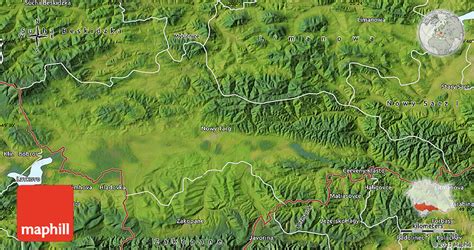
Location: Nowy Targ 🌎
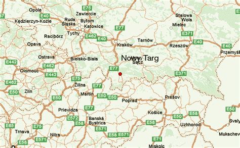
Location: Nowy Targ, Poland
Administration Region: Małopolskie
Population: 33545
ISO2 Code: Małopolskie
ISO3 Code: POL
Location Type: Lower-level Admin Capital
Latitude: 49.4667
Longitude: 20.0167
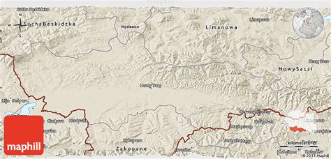
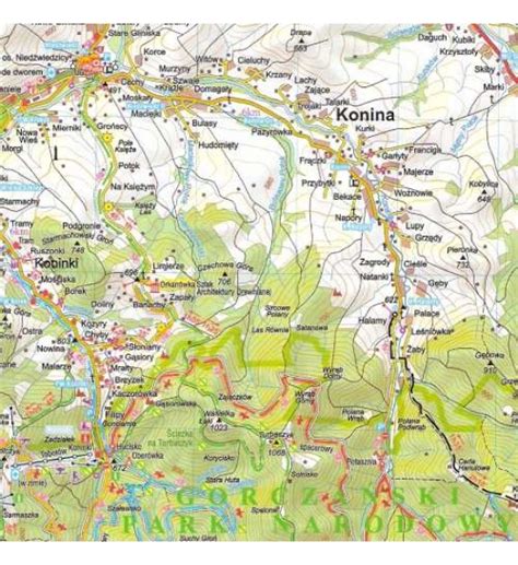
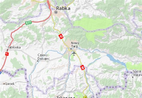
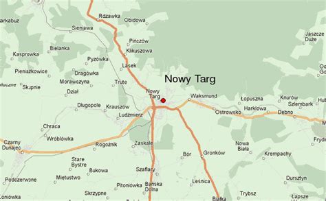
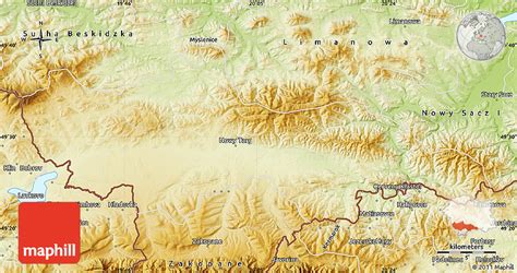
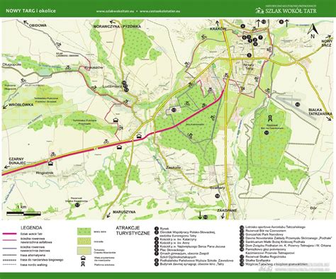
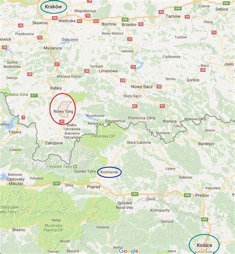
Nowy Targ [ˈnɔvɨ ˈtark] (Officially: Royal Free city of Nowy Targ, Yiddish: Naymark, Goral Dialect: Miasto) is a town in southern Poland, in the Lesser Poland Voivodeship. It is located in the Orava-Nowy Targ Basin at the foot of the Gorce Mountains, at the confluence of the Czarny Dunajec and the Biały Dunajec. It is the seat of the Nowy Targ County and the rural Gmina Nowy Targ, as well as the Tatra Euroregion.
With 33,293 inhabitants, Nowy Targ is the largest town and the historic capital of Podhale, as well as its main commercial, communication and industrial center.
The town has the Podhale State Vocational University and the highest located airport in Poland.
Established before 1233, Nowy Targ received city rights on June 22, 1346 from King Casimir the Great. The historic architectural and urban complex of the town with a medieval market square has been preserved to this day.
Top Nowy Targ HD Maps, Free Download 🗺️
Map
Maps
United States
United States
World Map
China
China
