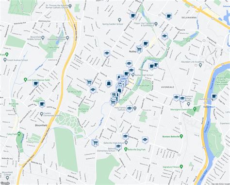
Location: Nutley 🌎
Location: Nutley, United States
Administration Region: New Jersey
Population: 29931
ISO2 Code: New Jersey
ISO3 Code: USA
Location Type:
Latitude: 40.8206
Longitude: -74.1562
Nutley is a township in Essex County, in the U.S. state of New Jersey. As of the 2020 United States census, the township’s population was 30,143, an increase of 1,773 (+6.2%) from the 2010 census count of 28,370, which in turn reflected an increase of 1,008 (+3.7%) from the 27,362 counted in the 2000 census.What is now Nutley was originally incorporated as Franklin Township by an act of the New Jersey Legislature on February 18, 1874, from portions of Belleville Township. Nutley was incorporated as a town on March 5, 1902, replacing Franklin Township. In 1981, the town was one of seven Essex County municipalities to pass a referendum to become a township, joining four municipalities that had already made the change, of what would ultimately be more than a dozen Essex County municipalities to reclassify themselves as townships in order take advantage of federal revenue sharing policies that allocated townships a greater share of government aid to municipalities on a per capita basis.Nutley derived its name from the estate of the Satterthwaite family, established in 1844, which stretched along the Passaic River and from an artist’s colony in the area.

Top Nutley HD Maps, Free Download 🗺️
Map
Maps
United States
United States
World Map
China
China