Location: Nyköping 🌎
Location: Nyköping, Sweden
Administration Region: Södermanland
Population: 38780
ISO2 Code: Södermanland
ISO3 Code: SWE
Location Type: First-level Admin Capital
Latitude: 58.7531
Longitude: 17.0086
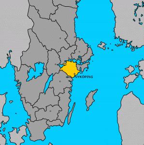
Nyköping (Swedish pronunciation: [ˈnŷːˌɕøːpɪŋ]) is a locality and the seat of Nyköping Municipality, Södermanland County, Sweden with 32,759 inhabitants as of 2017. The city is also the capital of Södermanland County.
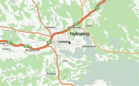
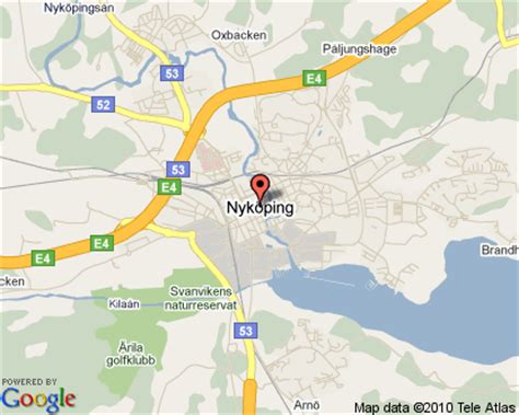
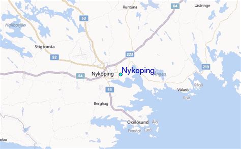
Including Arnö, the locality on the southern shore of the bay just a couple of kilometres from the city centre, Nyköping would have above 36,000 inhabitants. Commonly, Arnö is referred to as a part of the city proper. It forms a wider conurbation with the neighbouring minor municipality and town of Oxelösund 10 kilometres (6.2 mi) south of its outskirts. The municipality is much larger, although sparsely populated outside of the urban area.
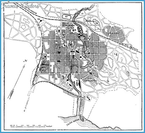
Nyköping directly translates to Newmarket into English. The prefix Ny is translated as New and köping is an old Swedish word for a market place and a commonly used suffix for cities in the south central region of the country (see Köping). The city is located near the open Baltic Sea on the Stadsfjärden inlet, and is regarded as a coastal location. Rivers Nyköpingsån and Kilaån reach the Baltic Sea through the southern end of downtown. The former river splits the town down the middle into an eastern and western part. There are multiple other inlets in the municipality, which has an extensive shoreline.
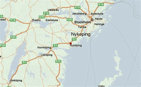
Typical of the region, the landscape is influenced by post-glacial rebound after the latest ice age. For thousands of years, the land of downtown Nyköping was an archipelago where the hills in town today formed many islands, while the flatter parts of the town were the seafloor. With four peaks above 50 metres (160 ft), the highest point within town limits is 59 metres (194 ft) at Ekensberg in the northeastern fringes.Nyköping is also the home of Stockholm Skavsta Airport which is located less than 10 kilometres (6.2 mi) from the city centre. Nyköping is part of the wider area of the Mälaren Valley, located around 100 kilometres (62 mi) south of inner Stockholm and 60 kilometres (37 mi) east of Norrköping, the nearest larger city. The municipal border between Nyköping and Norrköping marks the point where the historical lands Götaland and Svealand converge on the east coast.
It retains an oceanic/continental climate hybrid, causing warm summers and winters around the freezing point with variable snow cover.
Top Nyköping HD Maps, Free Download 🗺️
Map
Maps
United States
United States
World Map
China
China
