Location: Okayama 🌎
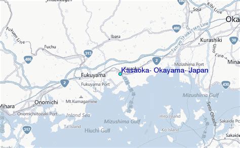
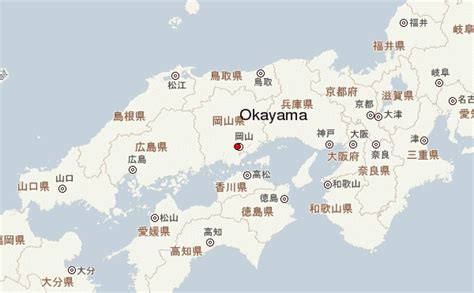
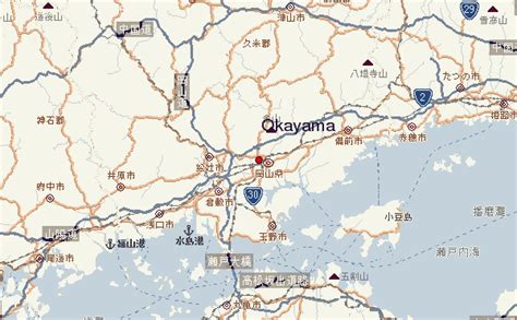
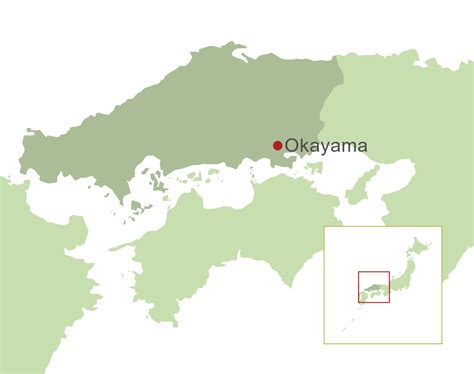
Location: Okayama, Japan
Administration Region: Okayama
Population: 720043
ISO2 Code: Okayama
ISO3 Code: JPN
Location Type: First-level Admin Capital
Latitude: 34.7
Longitude: 133.85
Okayama Prefecture (岡山県, Okayama-ken) is a prefecture of Japan located in the Chūgoku region of Honshu. Okayama Prefecture has a population of 1,906,464 (1 February 2018) and has a geographic area of 7,114 km2 (2,746 sq mi). Okayama Prefecture borders Tottori Prefecture to the north, Hyōgo Prefecture to the east, and Hiroshima Prefecture to the west.
Okayama is the capital and largest city of Okayama Prefecture, with other major cities including Kurashiki, Tsuyama, and Sōja. Okayama Prefecture’s south is located on the Seto Inland Sea coast across from Kagawa Prefecture on the island of Shikoku, which are connected by the Great Seto Bridge, while the north is characterized by the Chūgoku Mountains.
Top Okayama HD Maps, Free Download 🗺️
Map
Maps
United States
United States
World Map
China
China


