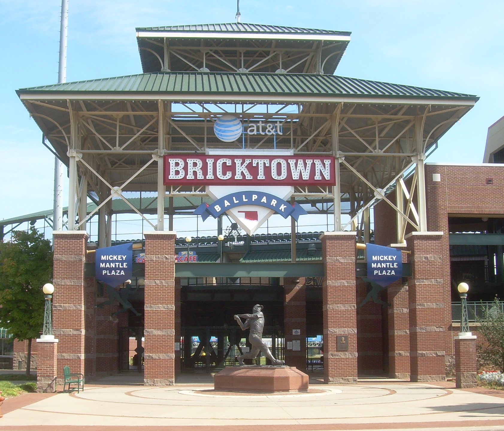
Location: Oklahoma City 🌎
Location: Oklahoma City, United States
Administration Region: Oklahoma
Population: 994284
ISO2 Code: Oklahoma
ISO3 Code: USA
Location Type: First-level Admin Capital
Latitude: 35.4686
Longitude: -97.5214
Oklahoma City ( ), officially the City of Oklahoma City, and often shortened to OKC, is the capital and largest city of the U.S. state of Oklahoma. The county seat of Oklahoma County, it ranks 20th among United States cities in population, and is the 8th largest city in the Southern United States. The population grew following the 2010 census and reached 681,054 in the 2020 census. The Oklahoma City metropolitan area had a population of 1,396,445, and the Oklahoma City–Shawnee Combined Statistical Area had a population of 1,469,124, making it Oklahoma’s largest municipality and metropolitan area by population.
Oklahoma City’s city limits extend somewhat into Canadian, Cleveland, and Pottawatomie counties, though much of those areas outside the core Oklahoma County area are suburban tracts or protected rural zones (watershed). The city is the eighth-largest in the United States by area including consolidated city-counties; it is the second-largest, after Houston, not including consolidated cities. The city is also the second largest by area among state capital cities in the United States, after Juneau, Alaska.
Oklahoma City has one of the world’s largest livestock markets. Oil, natural gas, petroleum products, and related industries are its economy’s largest sector. The city is in the middle of an active oil field and oil derricks dot the capitol grounds. The federal government employs a large number of workers at Tinker Air Force Base and the United States Department of Transportation’s Mike Monroney Aeronautical Center (which house offices of the Federal Aviation Administration and the Transportation Department’s Enterprise Service Center, respectively).
Oklahoma City is on the I-35 Corridor, one of the primary travel corridors south into neighboring Texas and Mexico and north towards Wichita and Kansas City. Located in the state’s Frontier Country region, the city’s northeast section lies in an ecological region known as the Cross Timbers. The city was founded during the Land Run of 1889 and grew to a population of over 10,000 within hours of its founding. It was the site of the April 19, 1995, bombing of the Alfred P. Murrah Federal Building, in which 168 people died, the deadliest terror attack in U.S. history until the attacks of September 11, 2001, and the deadliest act of domestic terrorism in U.S. history.
Since weather records have been kept beginning in 1890, Oklahoma City has been struck by 14 violent tornadoes, 11 of which were rated F4 or EF4 on the Fujita and Enhanced Fujita scales, and one each rated F5 and EF5.

Top Oklahoma City HD Maps, Free Download 🗺️
Map
Maps
United States
United States
World Map
China
China
