Location: Oldenzaal 🌎
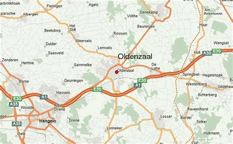
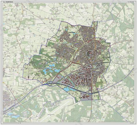
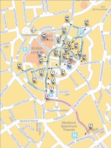
Location: Oldenzaal, Netherlands
Administration Region: Overijssel
Population: 31840
ISO2 Code: Overijssel
ISO3 Code: NLD
Location Type: Lower-level Admin Capital
Latitude: 52.3167
Longitude: 6.9333
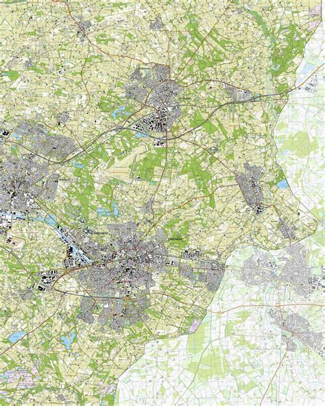
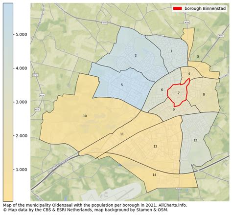
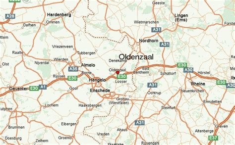
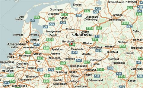
Oldenzaal (Dutch pronunciation: [ˈɔldə(n)ˌzaːl] ; Tweants: Oldnzel) is a municipality and a city in the eastern province of Overijssel in the Netherlands. It is part of the region of Twente and is close to the German border.
It received city rights in 1249. Historically, the city was part of the Hanseatic League as a subsidiary city of the fellow Hanseatic city of Deventer.
Located on the A1 motorway from Amsterdam to Germany, Oldenzaal also has a rail connection to Hengelo and Bad Bentheim.
As of 1 January 2019, 31,885 people lived in Oldenzaal.In the Netherlands, Oldenzaal is well known for its carnival festivities. During the carnival season Oldenzaal is known as “Boeskool-stad” which is a local dialect of the word Cabbage-town. During the main carnival weekend over 100,000 people come for the big parade showing high and mighty carnival trucks.
Top Oldenzaal HD Maps, Free Download 🗺️
Map
Maps
United States
United States
World Map
China
China
