Location: Olutanga 🌎
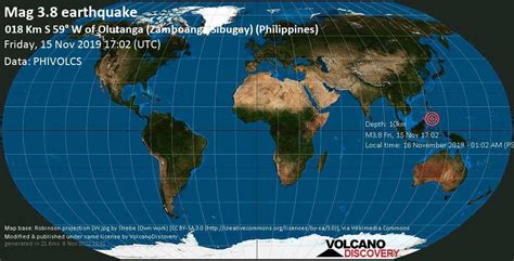
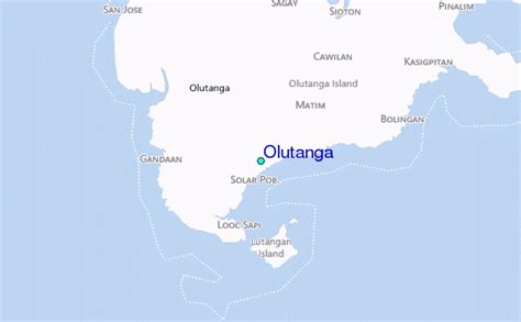
Location: Olutanga, Philippines Administration Region: Zamboanga Sibugay Population: 38438 ISO2 Code: Zamboanga Sibugay ISO3 Code: PHL Location Type: Latitude: 7.3667 Longitude: 122.8817
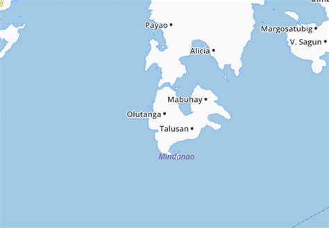
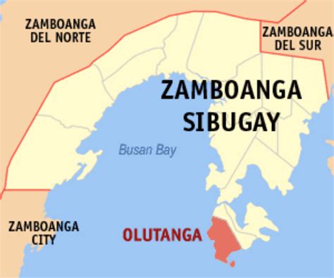
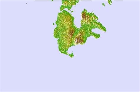
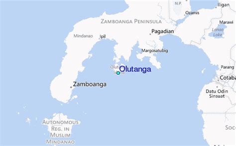
Olutanga is a Philippine island in the Moro Gulf, part of Zamboanga Sibugay Province. It is separated from the Zamboanga Peninsula by a narrow channel and Tantanang Bay. Olutanga, with an area of 194.1 square kilometres (74.9 sq mi), is the largest island in the Moro Gulf and the 34th largest island of the Philippines. It has a shoreline length of 89.8 kilometres (55.8 mi).The island is subdivided into 3 municipalities (Mabuhay, Talusan, and the namesake Olutanga), and has a total population of 103,701 people.

Top Olutanga HD Maps, Free Download 🗺️
Map
Maps
United States
United States
World Map
China
China