Location: Oranjestad 🌎
Location: Oranjestad, Aruba
Administration Region:
Population: 34980
ISO2 Code:
ISO3 Code: ABW
Location Type: Primary Capital
Latitude: 12.5186
Longitude: -70.0358
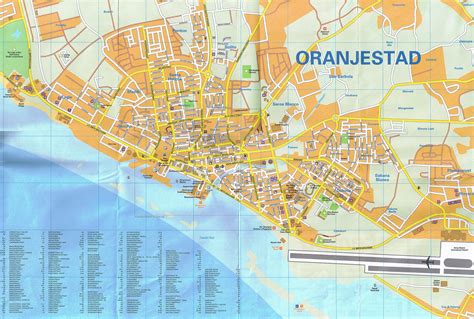
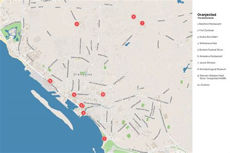
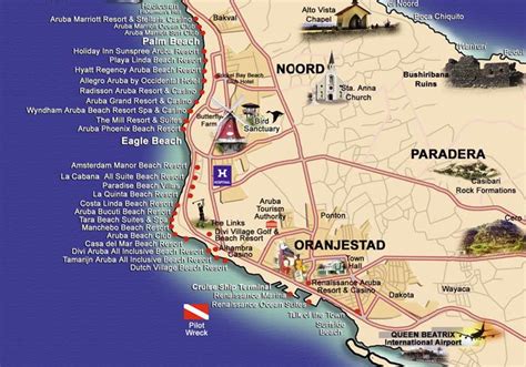
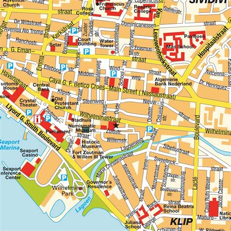
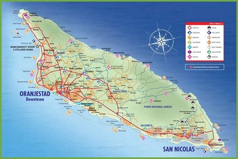
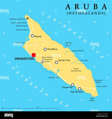
Oranjestad (UK: orr-AN-yə-staht, US: or-AHN-, oh-RAHN-, Dutch: [oːˈrɑɲəstɑt]; literally “Orange City”) is the capital and largest city of Aruba, a constituent country of the Kingdom of the Netherlands. It is located on the southern coast near the western end of the island country. In the local language, Papiamento, Oranjestad is often referred to as “Playa”. In 2010, the population of the capital was 28,294.

Top Oranjestad HD Maps, Free Download 🗺️
Map
Maps
United States
United States
World Map
China
China
