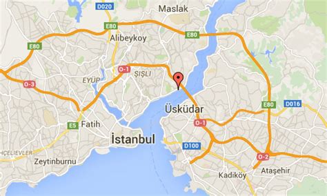
Location: Ortaköy 🌎
Location: Ortaköy, Turkey Administration Region: Aksaray Population: 31818 ISO2 Code: Aksaray ISO3 Code: TUR Location Type: Lower-level Admin Capital Latitude: 41.0481 Longitude: 29.0236
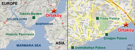
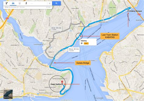
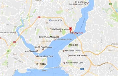
Ortaköy (lit. Middle Village) is a neighbourhood within the Beşiktaş district of Istanbul, Turkey, on the European shore of the Bosphorus. it was originally a small fishing village, known in Greek as Agios Fokas (Άγιος Φωκάς) in the Byzantine period and then as Mesachorion (Μεσαχώριον, meaning ‘Middle Village’). During the Ottoman era and into the first decades of the Turkish Republic, Ortaköy was a cosmopolitan place with communities of Turks, Greeks, Armenians and Jews. Today although the neighbourhood still retains a Jewish synagogue and Greek Orthodox church, it is almost entirely Turkish and Muslim. It is a popular tourist area, with small art galleries, expensive nightclubs, cafés, bars, and restaurants. There are several good educational establishments, such as Kabataş Erkek Lisesi and Galatasaray University, in Ortaköy. Ortaköy is not served by any trams or Metro stations. Although many buses run along the coastal road and pass through it, it is a notorious traffic bottleneck, especially at weekends.

Top Ortaköy HD Maps, Free Download 🗺️
Map
Maps
United States
United States
World Map
China
China