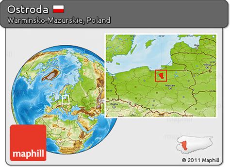
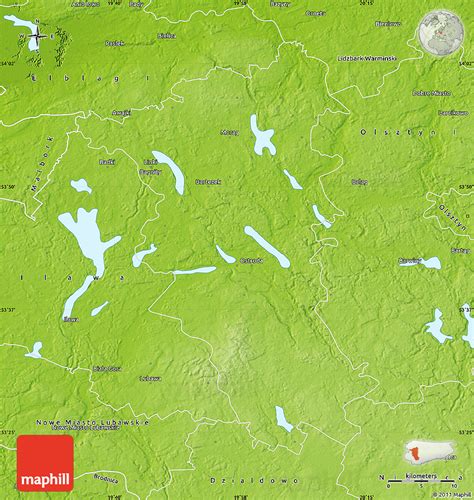
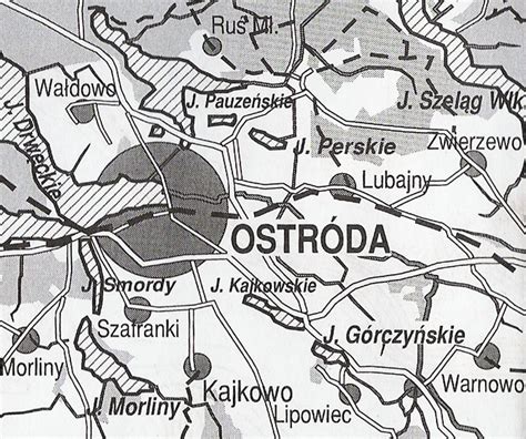
Location: Ostróda 🌎
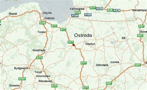
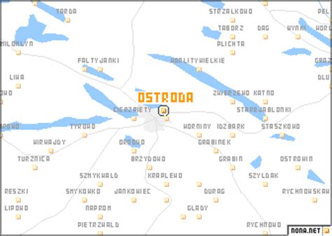
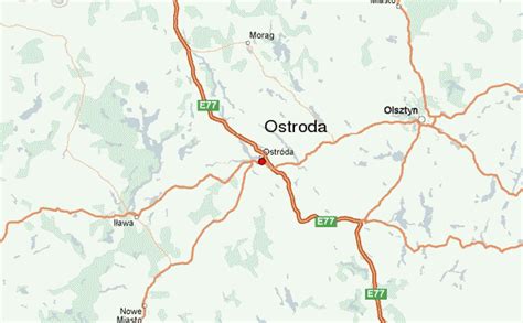
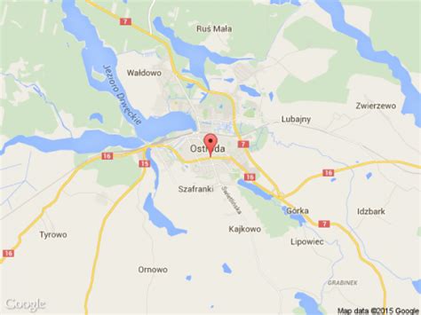
Location: Ostróda, Poland
Administration Region: Warmińsko-Mazurskie
Population: 32052
ISO2 Code: Warmińsko-Mazurskie
ISO3 Code: POL
Location Type: Lower-level Admin Capital
Latitude: 53.7
Longitude: 19.9667
Ostróda [ɔsˈtruda] (German: Osterode in Ostpreußen ; Old Prussian: Austrāti) is a town in northern Poland, in the historic region of Masuria. It is the seat of the Ostróda County within the Warmian-Masurian Voivodeship and has approximately 33,191 inhabitants (2009).
Ostróda is the largest town in the western part of Masuria, and the second largest in all of Masuria after Ełk.
Top Ostróda HD Maps, Free Download 🗺️
Map
Maps
United States
United States
World Map
China
China

