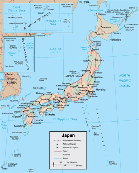
Location: Ōta-ku 🌎
Location: Ōta-ku, Japan
Administration Region: Tōkyō
Population: 737187
ISO2 Code: Tōkyō
ISO3 Code: JPN
Location Type:
Latitude: 35.5614
Longitude: 139.7161
Ōta (大田区, Ōta-ku) is a special ward located in Tokyo Metropolis, Japan. In English, it is often called Ōta City.
As of June 1, 2016, the ward has an estimated population of 716,413, with 379,199 households and a population density of 12,048.65 persons per km2. The total area is 59.46 km2, the largest of the special wards.
Ōta’s hub is situated around the two stations Kamata and Keikyū Kamata, where the Ōta Ward Office and central Post Office can be found.

Top Ōta-ku HD Maps, Free Download 🗺️
Map
Maps
United States
United States
World Map
China
China


