Location: Otjiwarongo 🌎
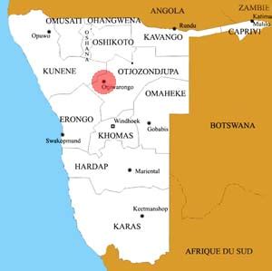
Location: Otjiwarongo, Namibia
Administration Region: Otjozondjupa
Population: 28249
ISO2 Code: Otjozondjupa
ISO3 Code: NAM
Location Type: First-level Admin Capital
Latitude: -20.4642
Longitude: 16.6528
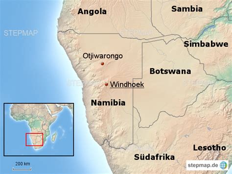
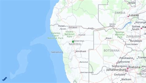
Otjiwarongo (English: beautiful place) is a city of 28,000 inhabitants in the Otjozondjupa Region of Namibia. It is the district capital of the Otjiwarongo electoral constituency and also the capital of Otjozondjupa.
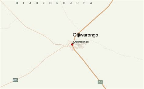
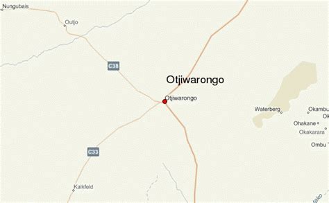
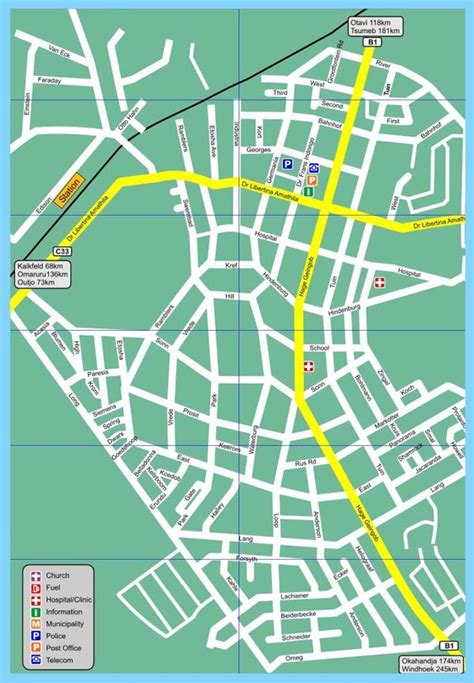
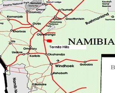
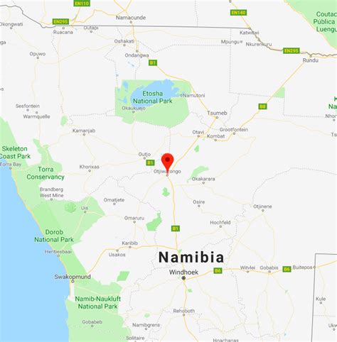
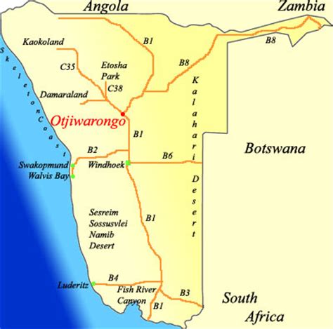
Otjiwarongo is situated in central-north Namibia on the TransNamib railway. It is the biggest business centre for Otjozondjupa Region. Otjiwarongo is located on the B1 road and its links between Windhoek, the Golden Triangle of Otavi, Tsumeb and Grootfontein, and Etosha National Park. It is one of Namibia’s fast-growing towns, with a neat and peaceful quality environment and many excellent facilities, including supermarkets, banks, lodges, and hotels. Some of Namibia’s best-known private game farms and nature reserves are located in and around the town.
Otjiwarongo is one of Namibia’s towns with a large population of German-speaking people. German influence is also evident in its Germanic buildings. The school “Donatus School Otjiwarongo” (D.S.O.) was once known as “Deutsche Schule Otjiwarongo”.

Top Otjiwarongo HD Maps, Free Download 🗺️
Map
Maps
United States
United States
World Map
China
China
