Location: Oudenaarde 🌎
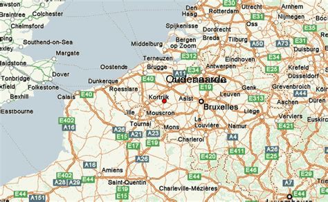
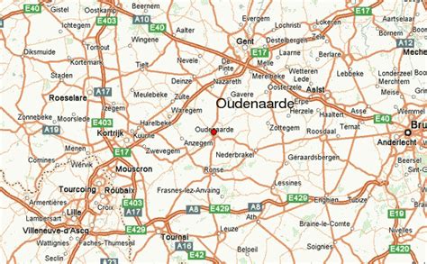
Location: Oudenaarde, Belgium Administration Region: Flanders Population: 31866 ISO2 Code: Flanders ISO3 Code: BEL Location Type: Lower-level Admin Capital Latitude: 50.85 Longitude: 3.6
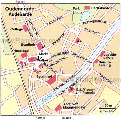
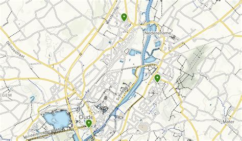
Oudenaarde (Dutch pronunciation: [ˈʌu̯dənaːrdə] ; French: Audenarde [odnaʁd]; in English sometimes Oudenarde) is a Belgian municipality in the Flemish province of East Flanders. The municipality comprises the city of Oudenaarde proper and the towns of Bevere, Edelare, Eine, Ename, Heurne, Leupegem, Mater, Melden, Mullem, Nederename, Volkegem, Welden and a part of Ooike. From the 15th to the 18th century, but especially in the 16th century, Oudenaarde was a world-known centre of tapestry production. The town’s name, meaning “old field”, still lingers on in “outnal”, an obsolete English term for a kind of brown linen thread.

Top Oudenaarde HD Maps, Free Download 🗺️
Map
Maps
United States
United States
World Map
China
China