Location: Ozumba 🌎
Location: Ozumba, Mexico
Administration Region: México
Population: 29114
ISO2 Code: México
ISO3 Code: MEX
Location Type: Lower-level Admin Capital
Latitude: 19.0392
Longitude: -98.7936
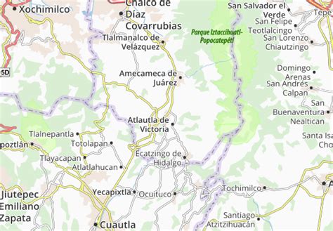
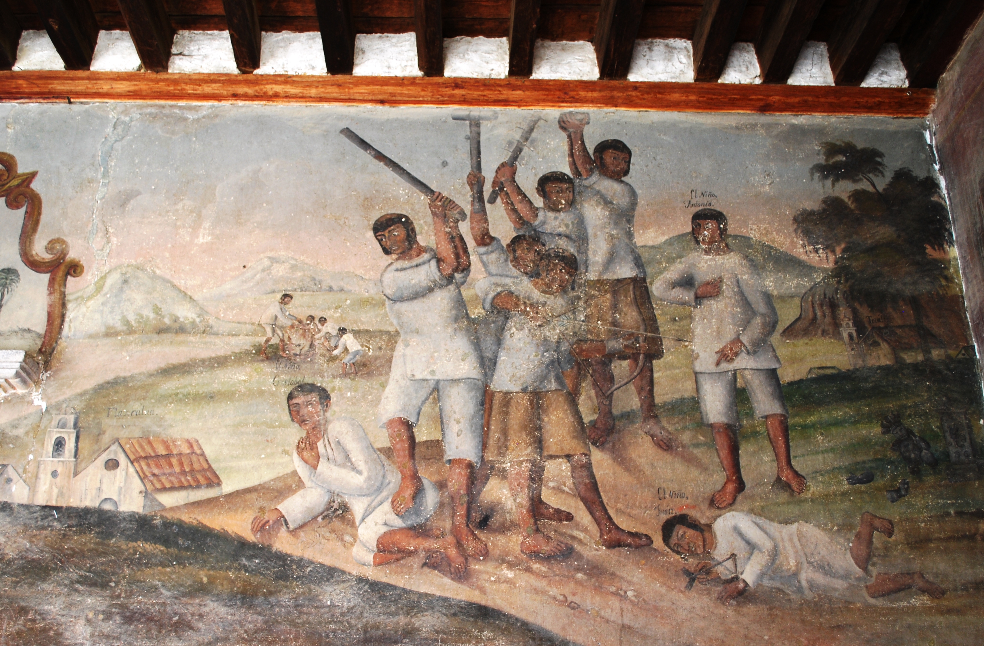
Ozumba is one of 125 municipalities in the State of Mexico. Its municipal seat is the town of Ozumba de Alzate. It is located in the southeast portion of the Valley of Mexico, 70 km southeast of Mexico City near the Mexico City-Cuautla highway. The main feature of this area is the Parish of the Immaculate Conception (Inmaculada Concepción) which began as a Franciscan monastery in the 16th century. The entrance to the cloister area contains murals related to the early evangelization efforts of this order. They include scenes such as Hernán Cortés greeting the first Franciscan missionaries in Mexico, the martyrdom of some of the first young converts to Christianity and even a scene where the monks are flogging Cortés. The church itself inside has suffered the theft of a number of its antique pieces. The name Ozumba comes from Nahuatl meaning “over the streams of water”. “de Alzate” was added to the formal name in honor of the scientist José Antonio Alzate y Ramirez Santillana who was born here.
Top Ozumba HD Maps, Free Download 🗺️
Map
Maps
United States
United States
World Map
China
China