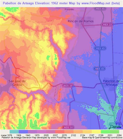
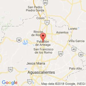
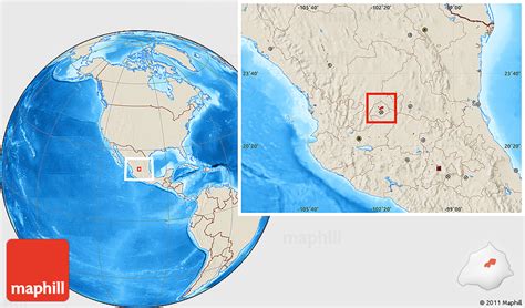
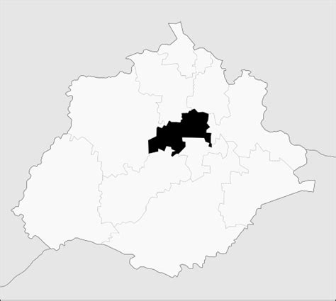
Location: Pabellón de Arteaga 🌎
Location: Pabellón de Arteaga, Mexico Administration Region: Aguascalientes Population: 28633 ISO2 Code: Aguascalientes ISO3 Code: MEX Location Type: Lower-level Admin Capital Latitude: 22.15 Longitude: -102.2667
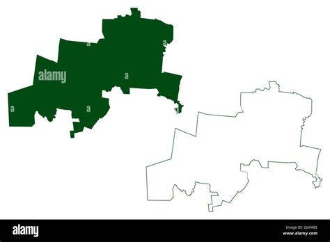
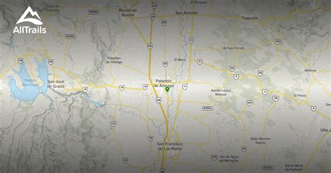
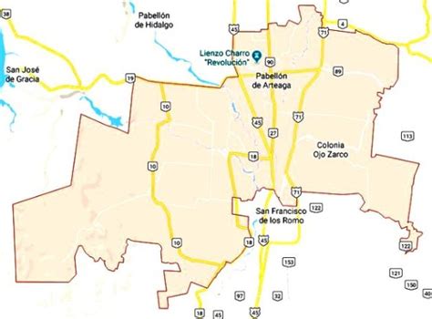
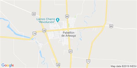
Pabellón de Arteaga is a city in the Mexican state of Aguascalientes. It stands at 22°09′N 102°16′W in the central part of the state. The city serves as the municipal seat of the municipality of Pabellón de Arteaga. As of 2010, the city had a total population of 28,633, up from 26,797 in 2005. It is the third-largest city in the state behind Aguascalientes and Jesús María. Its principal public party is on November 20 in a party called Feria de La Revolucion who commemorates the national uprising against Porfirio Díaz in 1910. Most of the people in this town study and work in the city of Aguascalientes. It is a half hour drive from Pabellon de Arteaga to Aguascalientes. Also every half hour a public transportation service called Las Combis go to Aguascalientes. Pabellon has three high schools, two junior high schools, and several elementary schools. On Mondays a traveling marketplace called “El Tianguis” set shop on the streets of Pabellon.
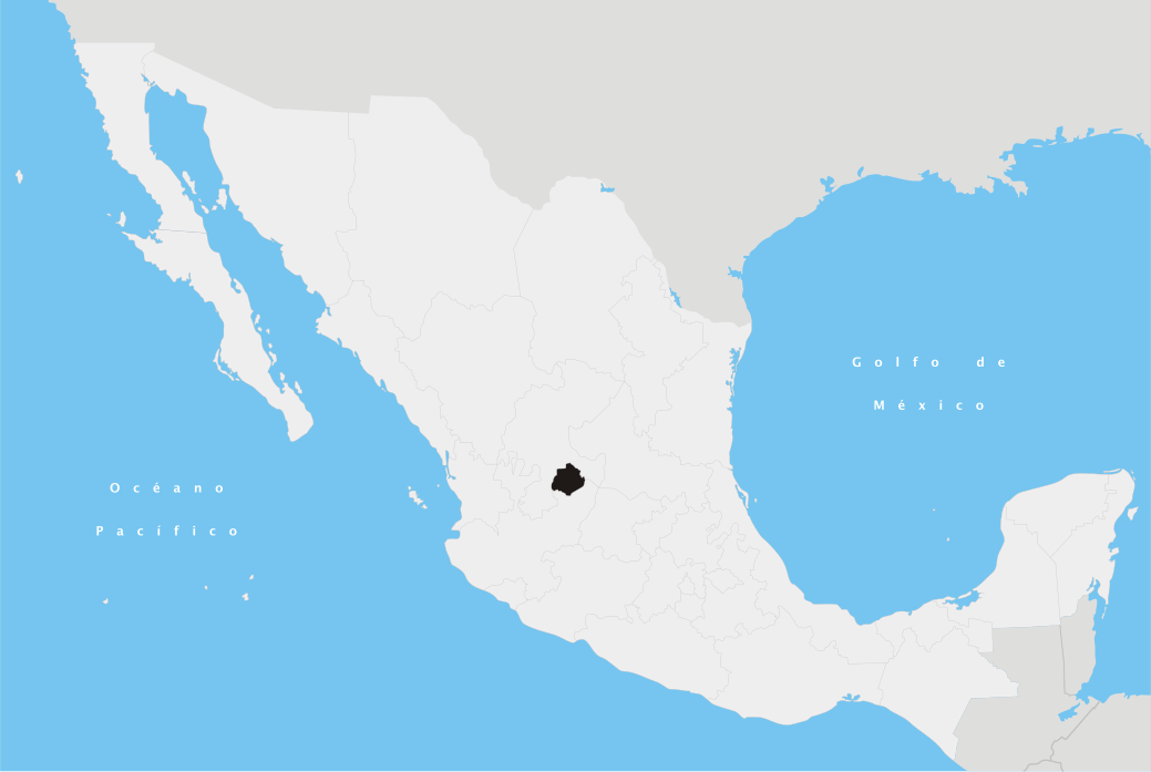
Top Pabellón de Arteaga HD Maps, Free Download 🗺️
Map
Maps
United States
United States
World Map
China
China