Location: Paju 🌎
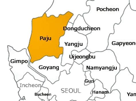
Location: Paju, South Korea
Administration Region: Gyeonggi
Population: 415345
ISO2 Code: Gyeonggi
ISO3 Code: KOR
Location Type: Lower-level Admin Capital
Latitude: 37.8667
Longitude: 126.8
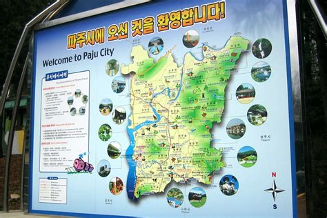
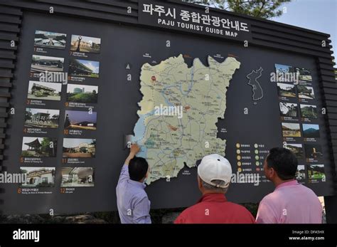
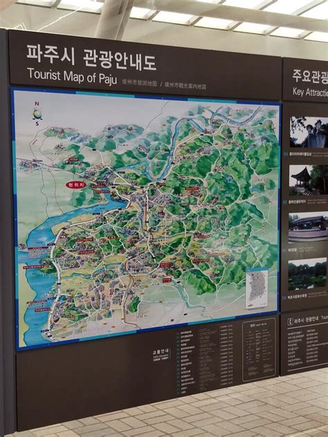
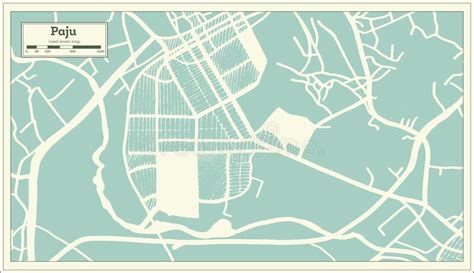
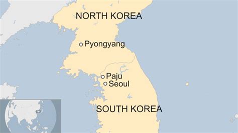
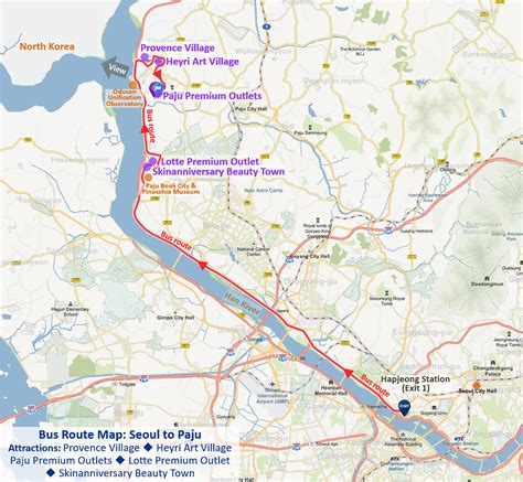
Paju (Korean pronunciation: [pʰɐ.d͡ʑu.]) is a city in Gyeonggi Province, South Korea. Paju was made a city in 1997; it had previously been a county (gun).The city area of Paju is 672.78 km2 (259.76 sq mi), and it is located just south of Panmunjeom on the 38th parallel. In 2015, the population of Paju was over 427,000. To defend the South Korean capital, Seoul, many U.S. and South Korean Army bases are set up in the area.
In 2002, the northernmost South Korean railway station, Dorasan, was opened. North Korean territory and Kaesong City can be seen from Mount Dora in the city.
Top Paju HD Maps, Free Download 🗺️
Map
Maps
United States
United States
World Map
China
China
