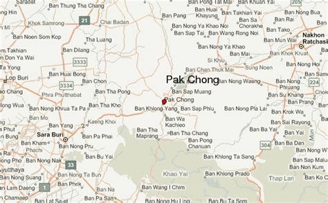
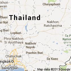
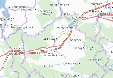
Location: Pak Chong 🌎
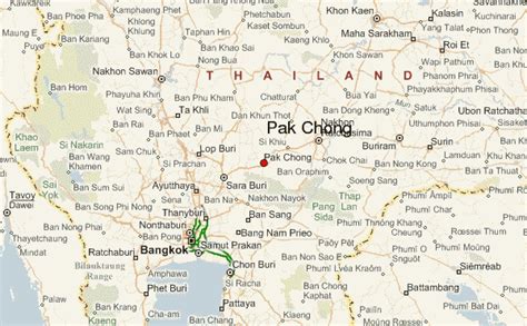
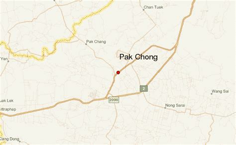
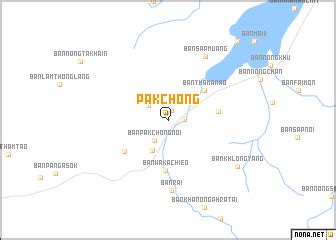
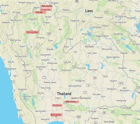
Location: Pak Chong, Thailand Administration Region: Nakhon Ratchasima Population: 35736 ISO2 Code: Nakhon Ratchasima ISO3 Code: THA Location Type: Lower-level Admin Capital Latitude: 14.7125 Longitude: 101.4219
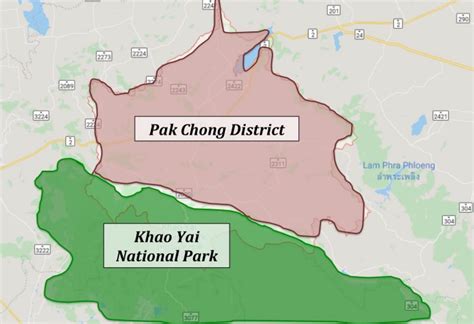
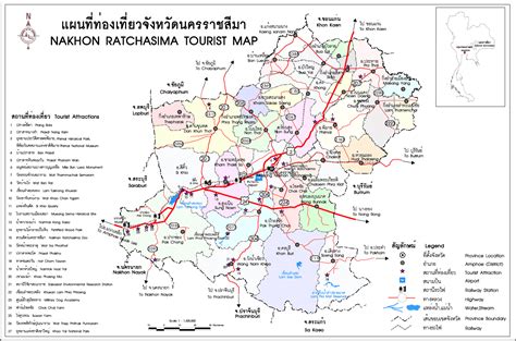
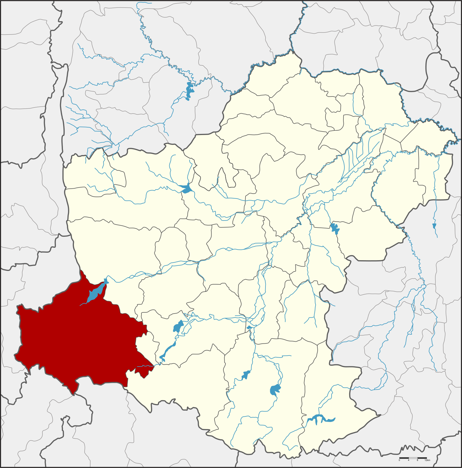
Pak Chong (Thai: ปากช่อง, pronounced [pàːk t͡ɕʰɔ̂ŋ]) is the westernmost district (amphoe) of Nakhon Ratchasima province, northeastern Thailand, and the main point of entry into Isan as the main road and rail lines cross the Dong Phaya Yen Mountains into the region. It is a popular tourist destination, especially among weekenders from Bangkok, and is home to many resorts and touristy attractions, in addition to the main entrance into Khao Yai National Park.
Top Pak Chong HD Maps, Free Download 🗺️
Map
Maps
United States
United States
World Map
China
China