Location: Palapye 🌎

Location: Palapye, Botswana Administration Region: Central Population: 36211 ISO2 Code: Central ISO3 Code: BWA Location Type: Latitude: -22.55 Longitude: 27.1333
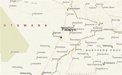
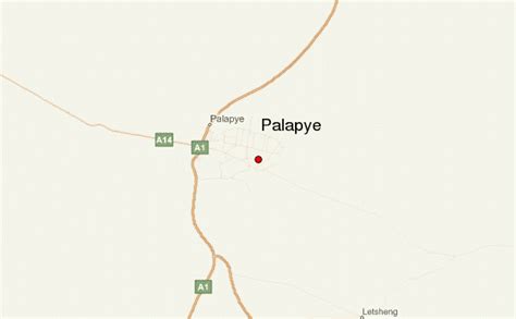
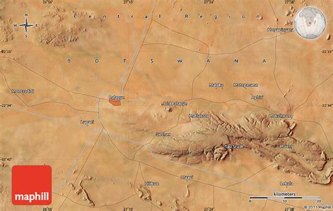
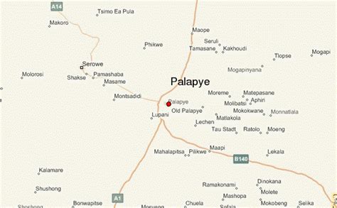
Palapye is a growing town in Botswana, situated about halfway between Francistown and Gaborone (170 km (106 mi) from Francistown and 240 km (149 mi) from Gaborone). Over the years its position has made it a convenient stopover on one of Southern Africa’s principal north–south rail and road routes.Located here is the Morupule Colliery coal mine, which supplies Morupule Power Station, Botswana’s principal domestic source of electricity. The power station has undertaken an expansion project to increase its generation capacity in an effort to meet the country’s increasing demand for electricity. Construction began in 2010. As of May 2021, Morupule A plant produces 132 MW of electricity, while Morupule B produces 600 MW.In 1997 Palapye was said to be the fastest-growing village in Africa, and was expected to expand its population from 30,000 to 180,000.
Palapye Download Free HD Maps, Regions and Roads (Images & PDFs)

Top Palapye HD Maps, Free Download 🗺️

Map
Maps
United States
United States
World Map
China
China
Palapye Location Guide, Palapye, Botswana, Botswana Villages, Botswana City
600 x 371px
Botswana, Palapye
Palapye Location Guide, Palapye, Botswana, Botswana Hotels, Mahalapye Botswana
600 x 371px
Botswana, Palapye
Satellite Map Of Palapye, Palapye, Botswana, Francistown Botswana, Bobonong Botswana
850 x 540px
Botswana, Palapye
Botswana Tourism, Francistown Botswana, Palapye, Palapye, Botswana
850 x 703px
Botswana, Palapye
Mahalapye Botswana, Lobatse Botswana, Style Simple, Palapye, Botswana
850 x 682px
Botswana, Palapye
Botswana Town, Maun Botswana, Shaded Relief, Palapye, Botswana
403 x 396px
Botswana, Palapye
Botswana City, Serowe Botswana, Palapye, Palapye, Botswana
850 x 703px
Botswana, Palapye
Palapye Location Guide, Palapye, Botswana, Serowe Botswana, Botswana Tourism
600 x 371px
Botswana, Palapye